26 July 2026 – It is no longer hot and not yet raining. I am out the door.
Out the door with only the vaguest of plans, but at least the intention to capitalize on this moment of walkable weather. False Creek north shore why not, but farther on down the creek than my casual Cambie Loop and a return by ferry. Also why not.
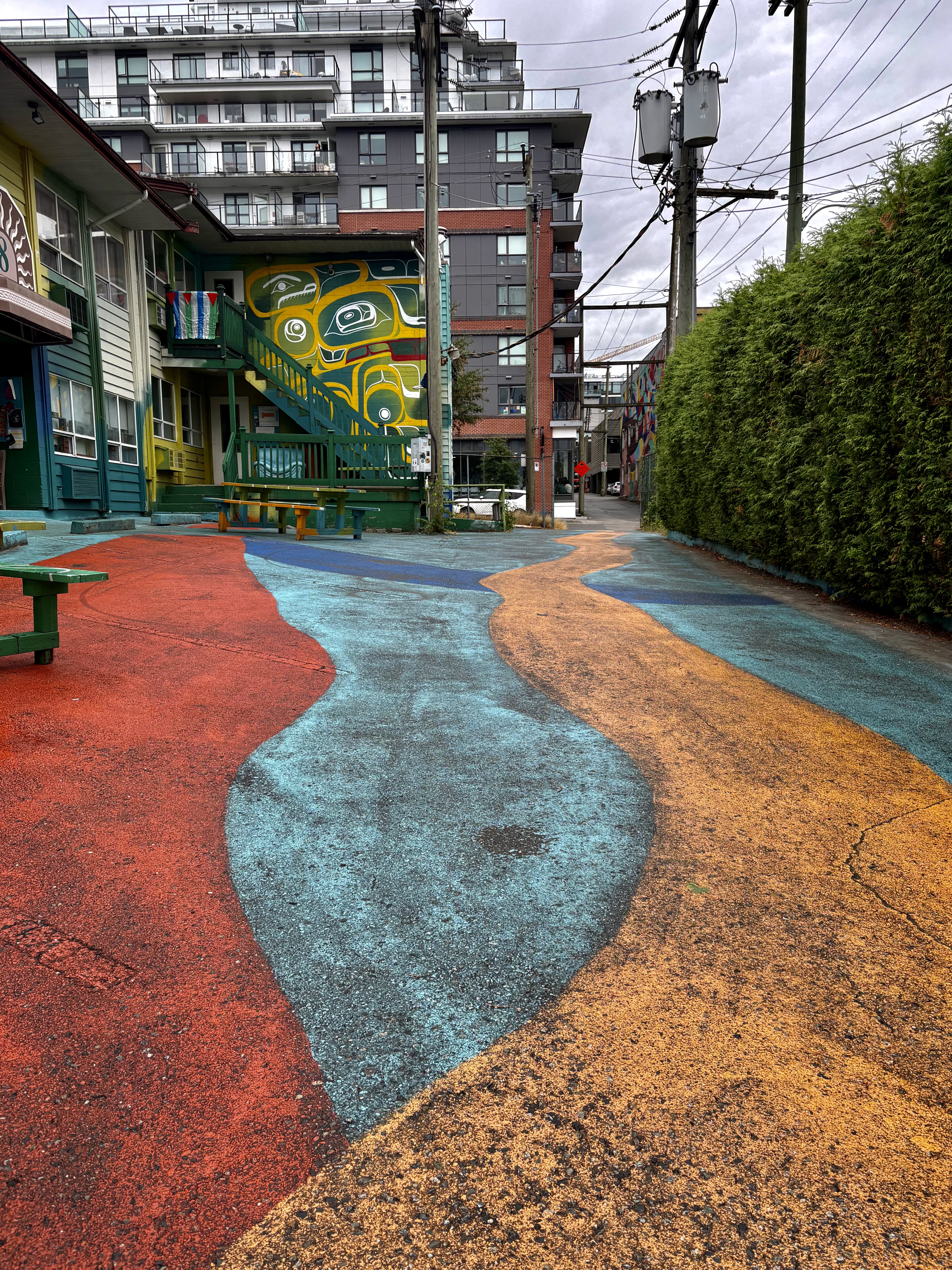
Lots of flexibility in the plan, which I promptly celebrate with an extra loop into/around City Centre Artist Lodge — long a city motel, slated for razing & redevelopment, meanwhile the entire complex is covered in murals and its 79 units are reborn as low-rent artist studios.
Rivers of colour, on the walls and on the ground.
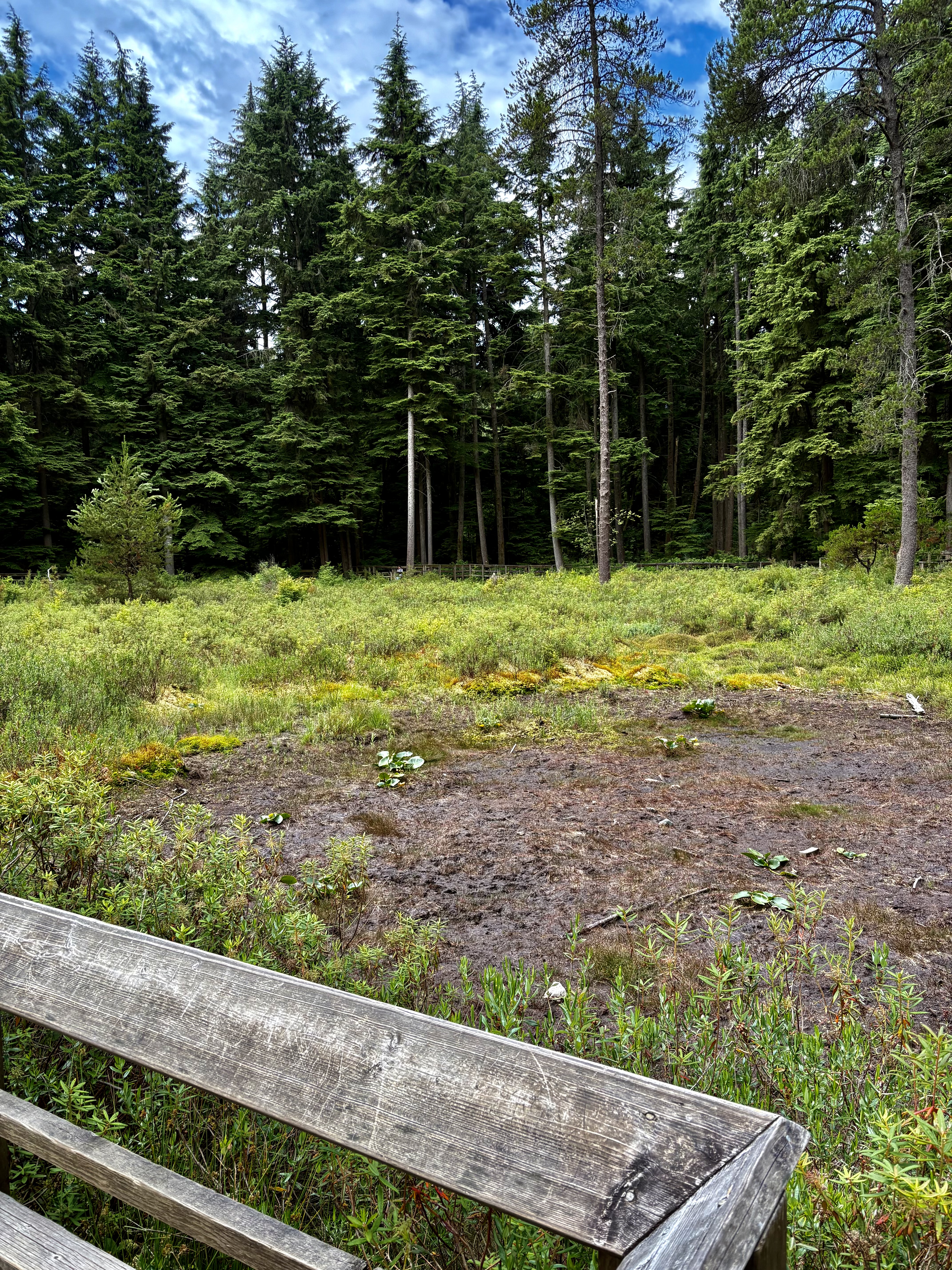
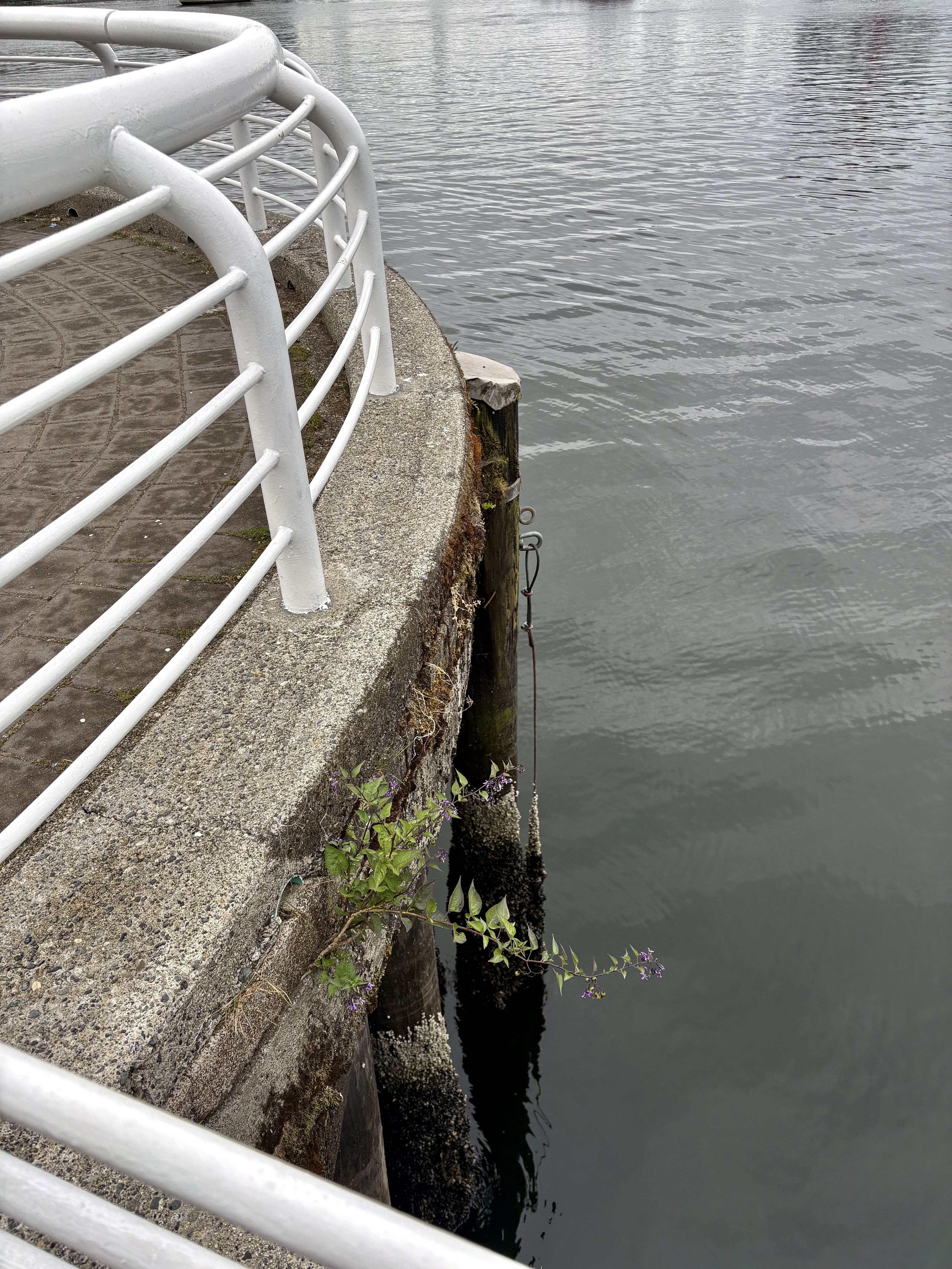
When I get to real water, it is silver-grey.
I’m now at False Creek, the eastern end that proves it is a false creek not a real creek at all, just a whopping long inlet, and here’s the end of it. To my east Science World; at my back Creekside Park; immediately west of that, an exercise in PR:
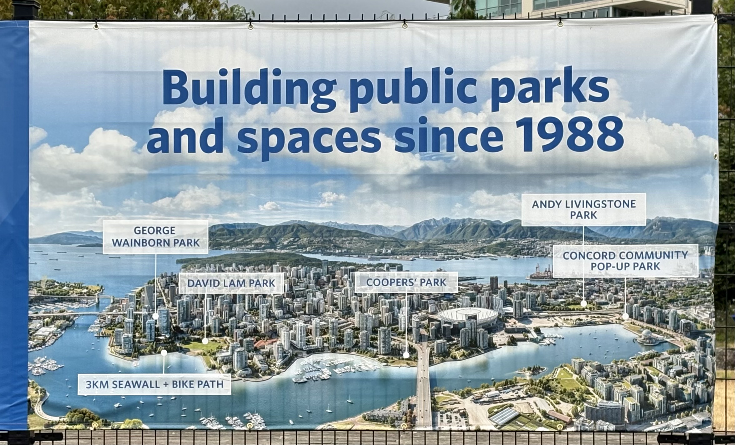
The map excludes Creekside Park since this development corporation didn’t create it, but it does feature their own “Community Pop-Up Park” right next door. I grr-grr slightly about the use of “pop-up” to describe a park that will continue to be here for some years yet — even as I recognize it’s an exercise in managing expectations. Don’t get too comfy, folks! it tells us; we will eventually be building on this land.
But not yet. So, meanwhile, I eye the map and let it inspire me. I’ll at least walk past Cambie Bridge and Coopers’ Park, at least to David Lam Park. Maybe farther?
I don’t know it yet, but the answer is yes. Farther.
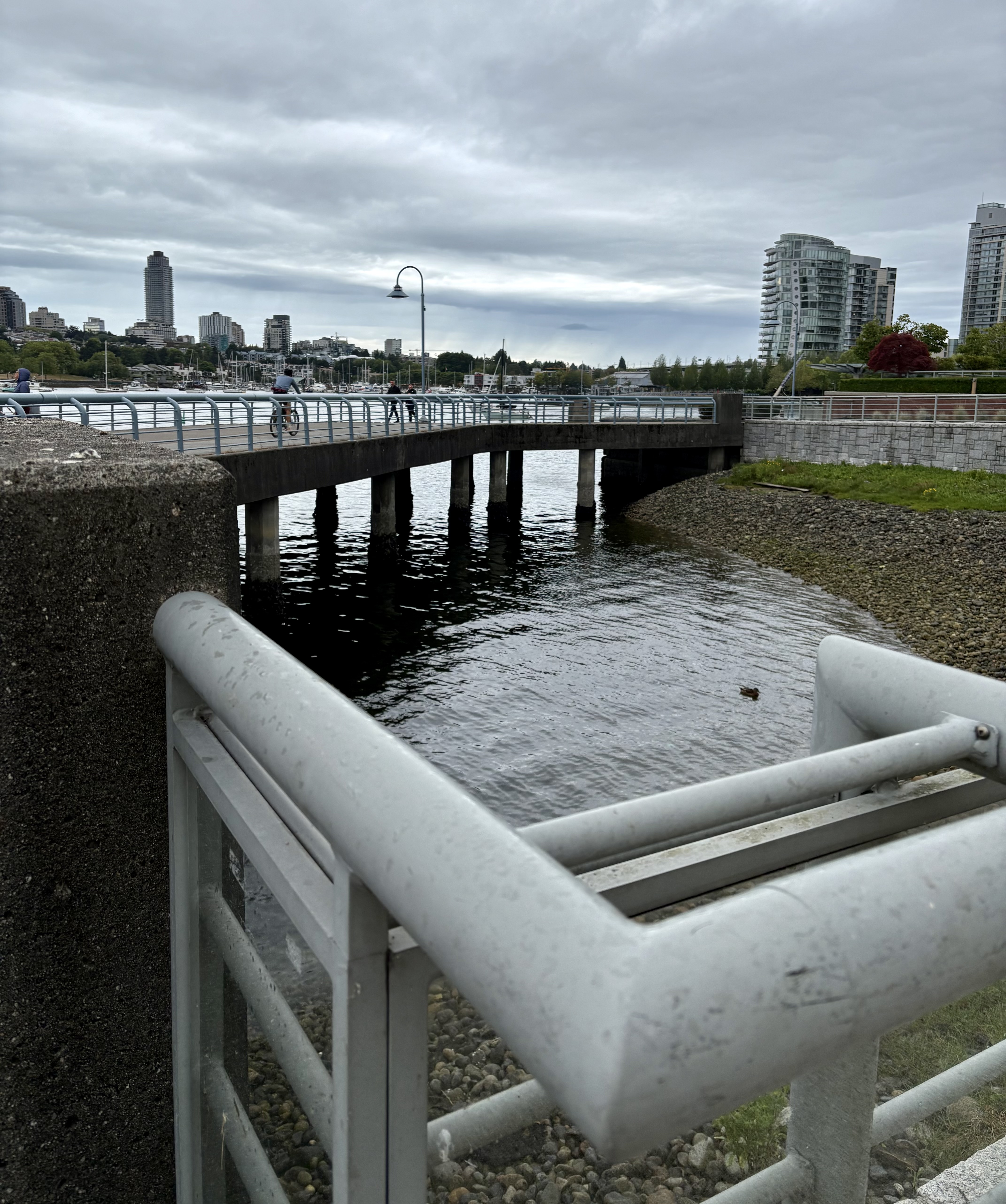
I’ll carry on past George Wainborn Park, under those two distant bridges (Granville and Burrard, respectively), past this map’s named territory, all the way to Sunset Beach before doubling back to a ferry dock at the Aquatic Centre.
Probably under the joint influence of map plus planned ferry-ride home, I begin noting where I am in terms of those two sets of landmarks.
Parq Casino, for example, with its splendid reflections…
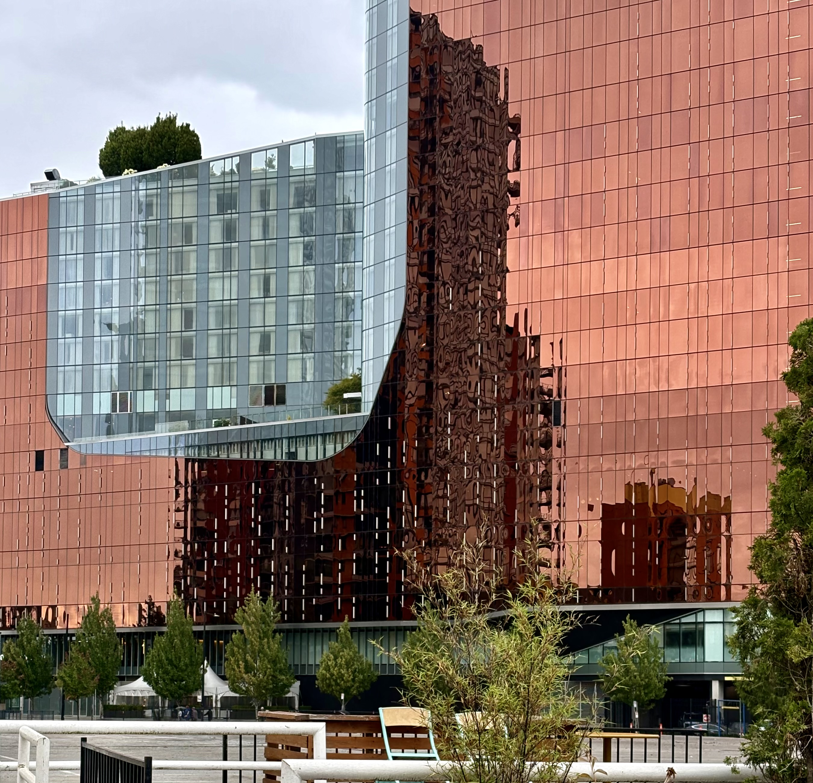
is located just behind the Plaza of Nations ferry dock, east of Coopers’ Park.
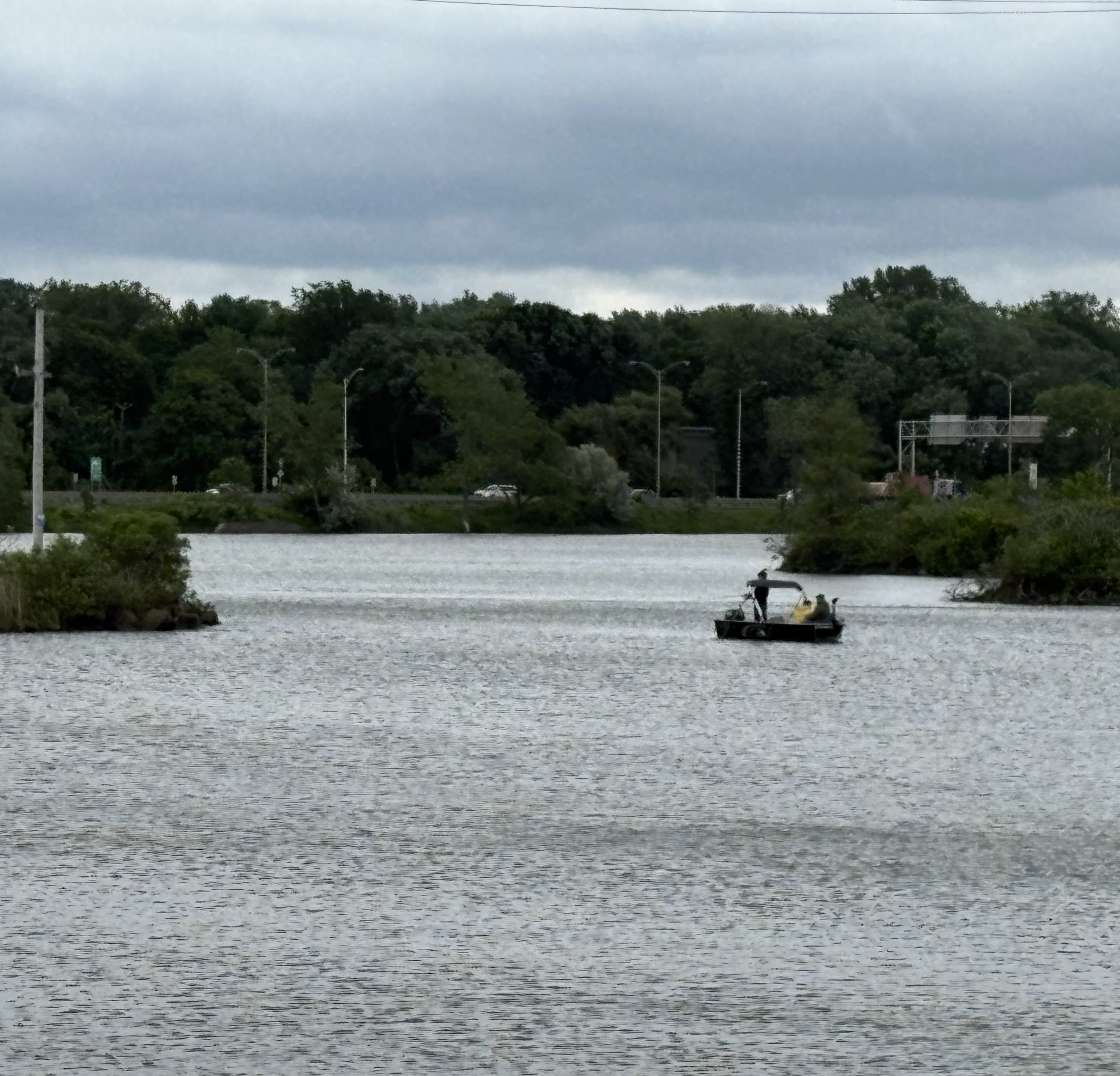
A bit farther west, mid-park, I eye this dragon boat in some amazement. It’s just sitting there! I’m used to seeing them furiously in motion.
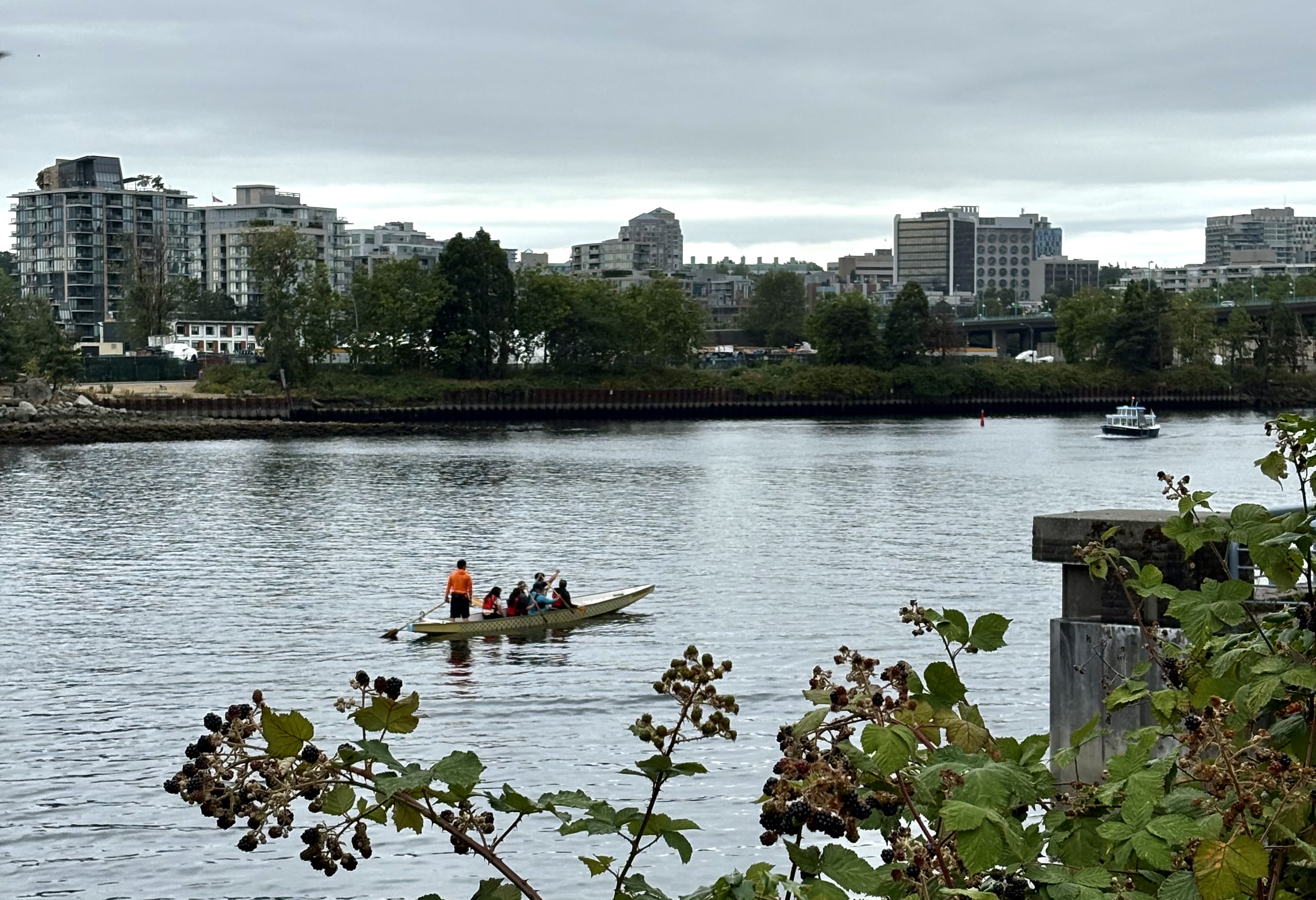
I want motion? I get it.
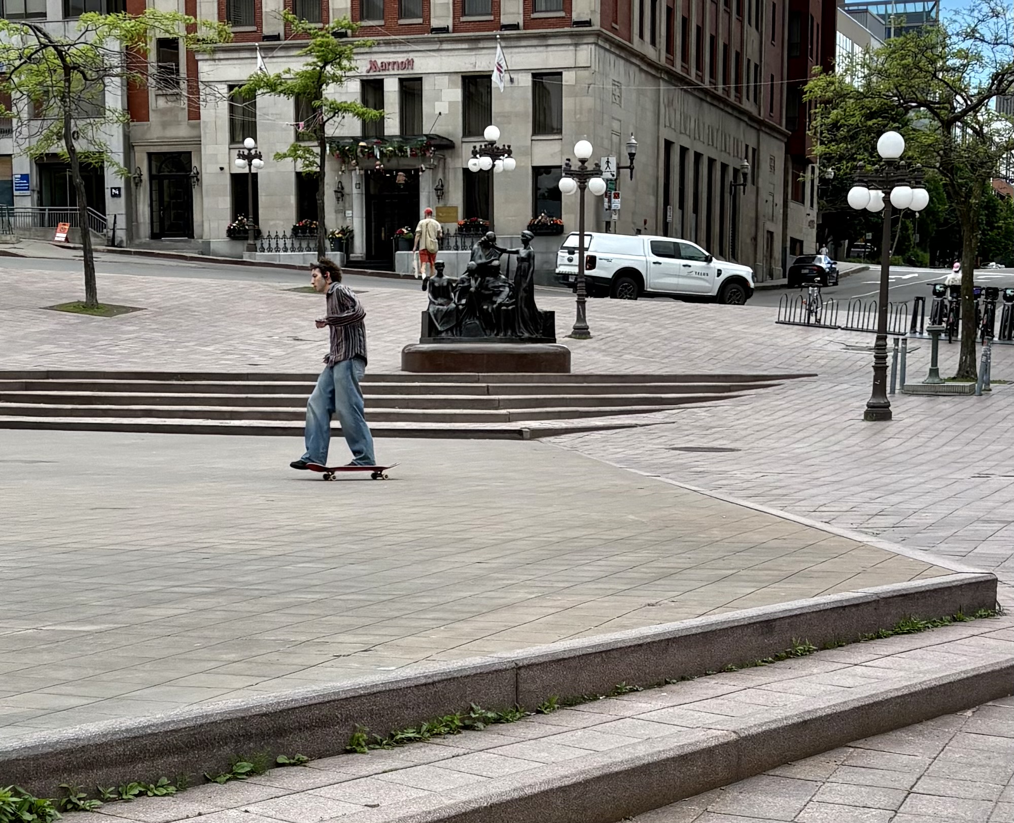
Coopers’ Park (on the footprint of Sweeney Cooperage and Saw Mill, which operated here until 1981) includes a playground, right under Cambie Bridge. The playground is closed these days, for upgrade work on the bridge — but that doesn’t mean nobody is playing.
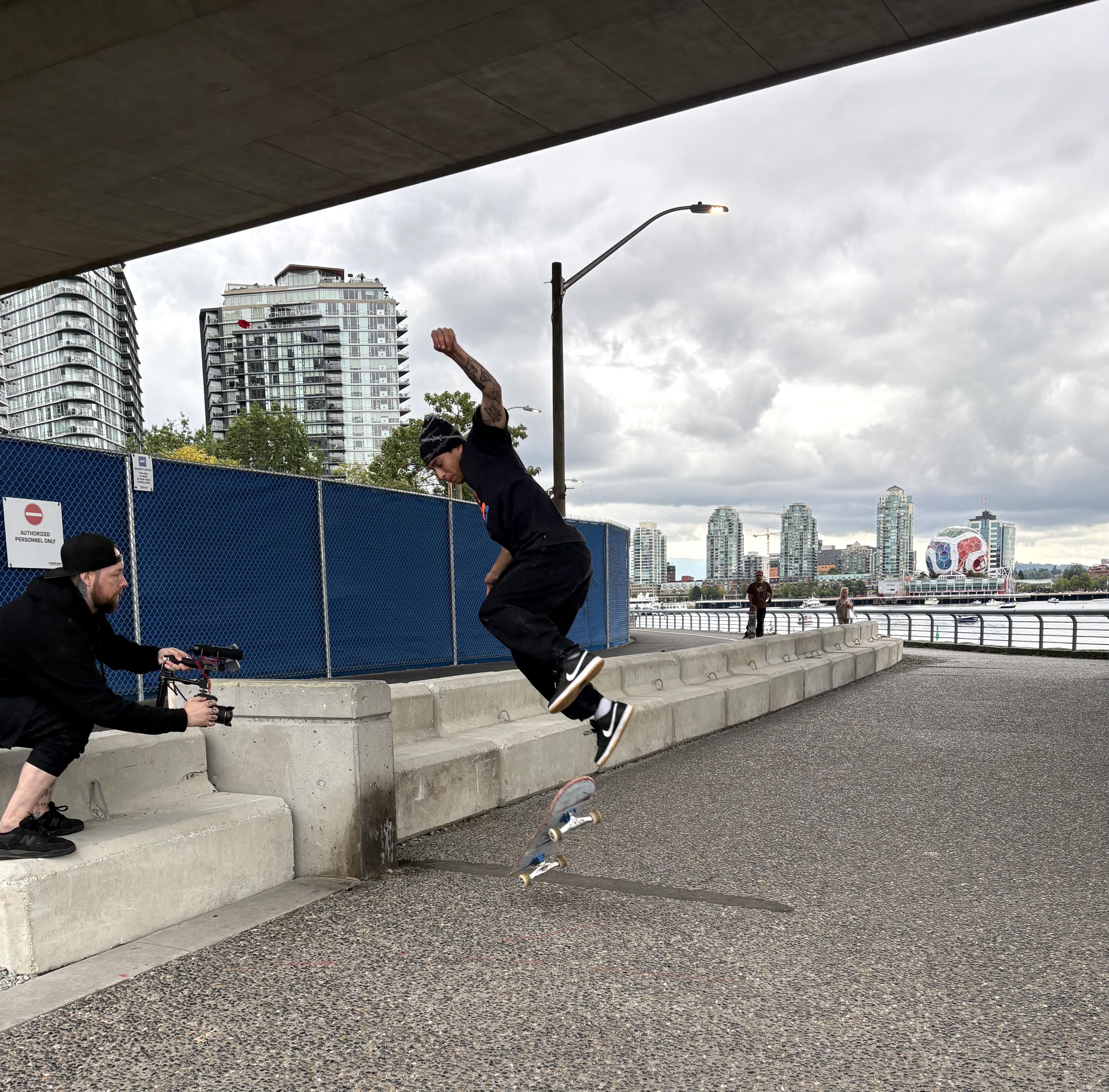
Skateboard city on the detour path! With two young skateboarders taking turns, and one photographer filming their jumps.
Watching Seawall action, yet another crow, on yet another lamp post.
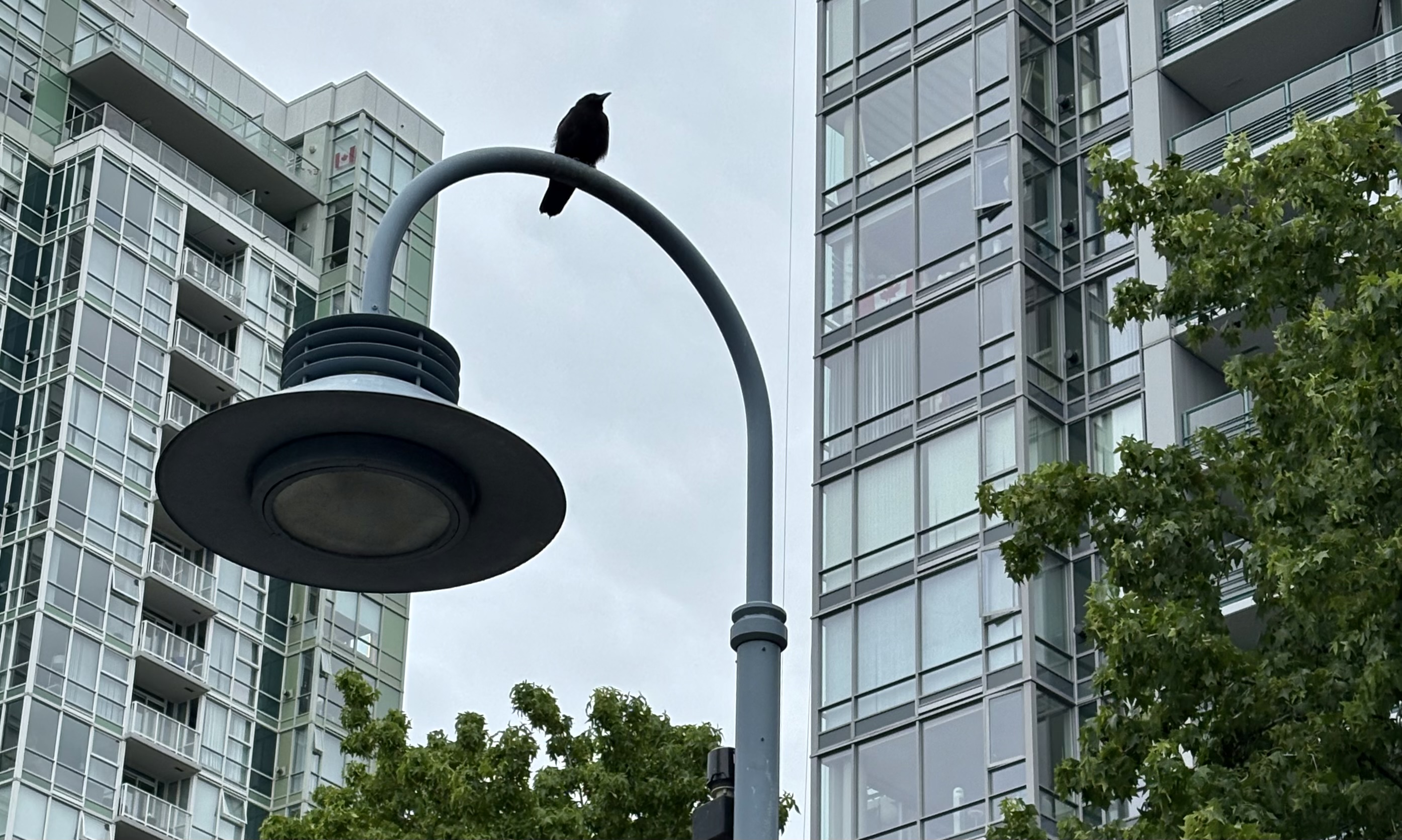
I happen to see him as I approach the Yaletown dock, midway between Coopers’ and David Lam parks, but he could be anywhere.
Each time I’m at the Yaletown dock, I read another of the incised historical vignettes. This one reminds us of the Great Fire of 1886, when a fire set to clear brush instead razed the entire community.
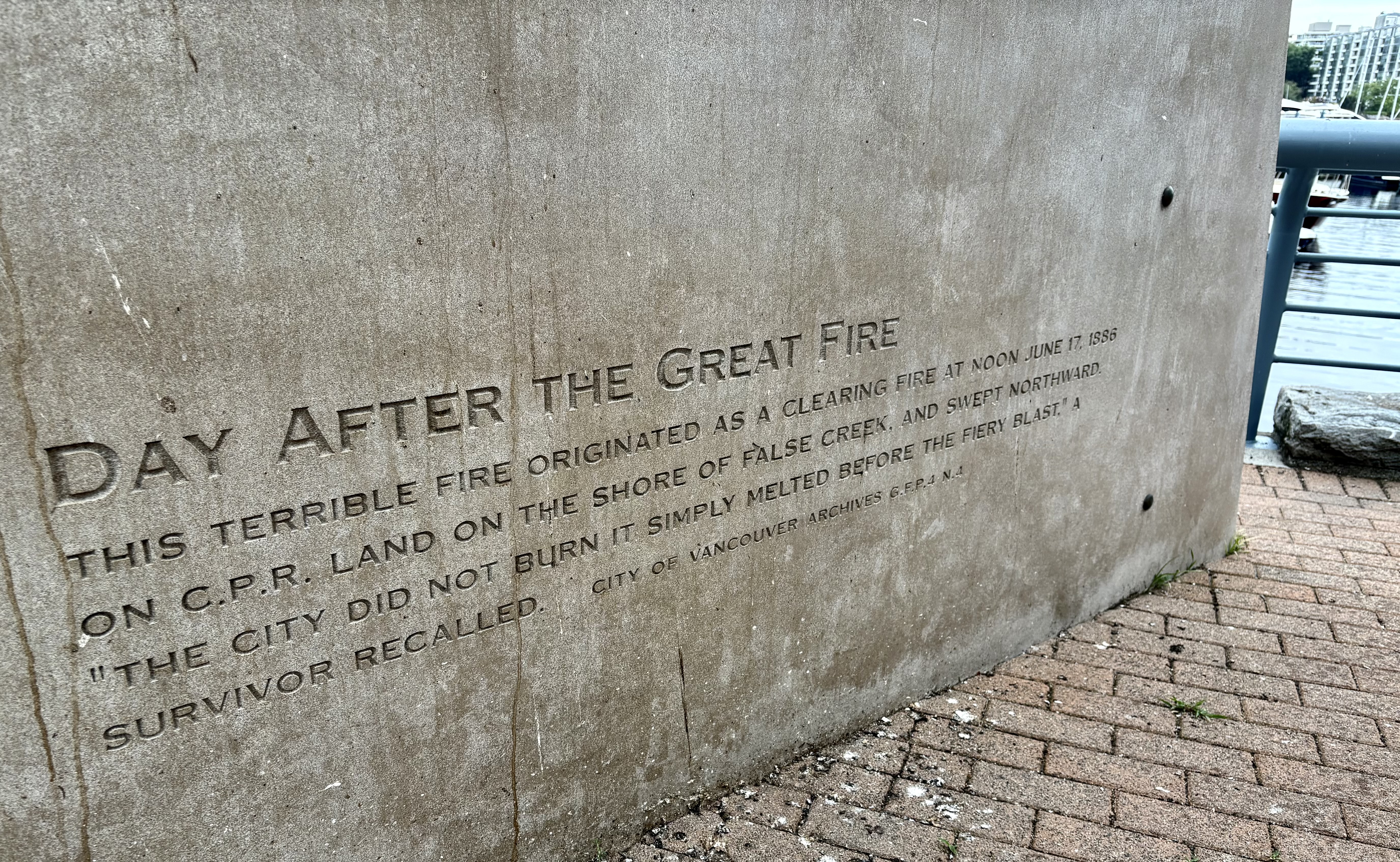
(Reader alert: I later look up further references, including the link above, and discover discrepancies in the data, even in the June date itself. )
More small discoveries as I go, including this mini-causeway as I round the curve that will give me my first view of the eastern end of David Lam Park. (It’s been here all along; I’ve just never noticed it.)
The David Lam shoreline contains two of my favourite False Creek sculptures — more precisely, the twin elements that comprise one art installation: Marking High Tide and Waiting for Low Tide, by retired landscaped architect turned sculptor Donald Vaughan.
I pause to read, as always, the words written around the High Tide concrete ring, set on tall pillars. “As the moon circles the earth the oceans respond with the rhythm of the tide.”
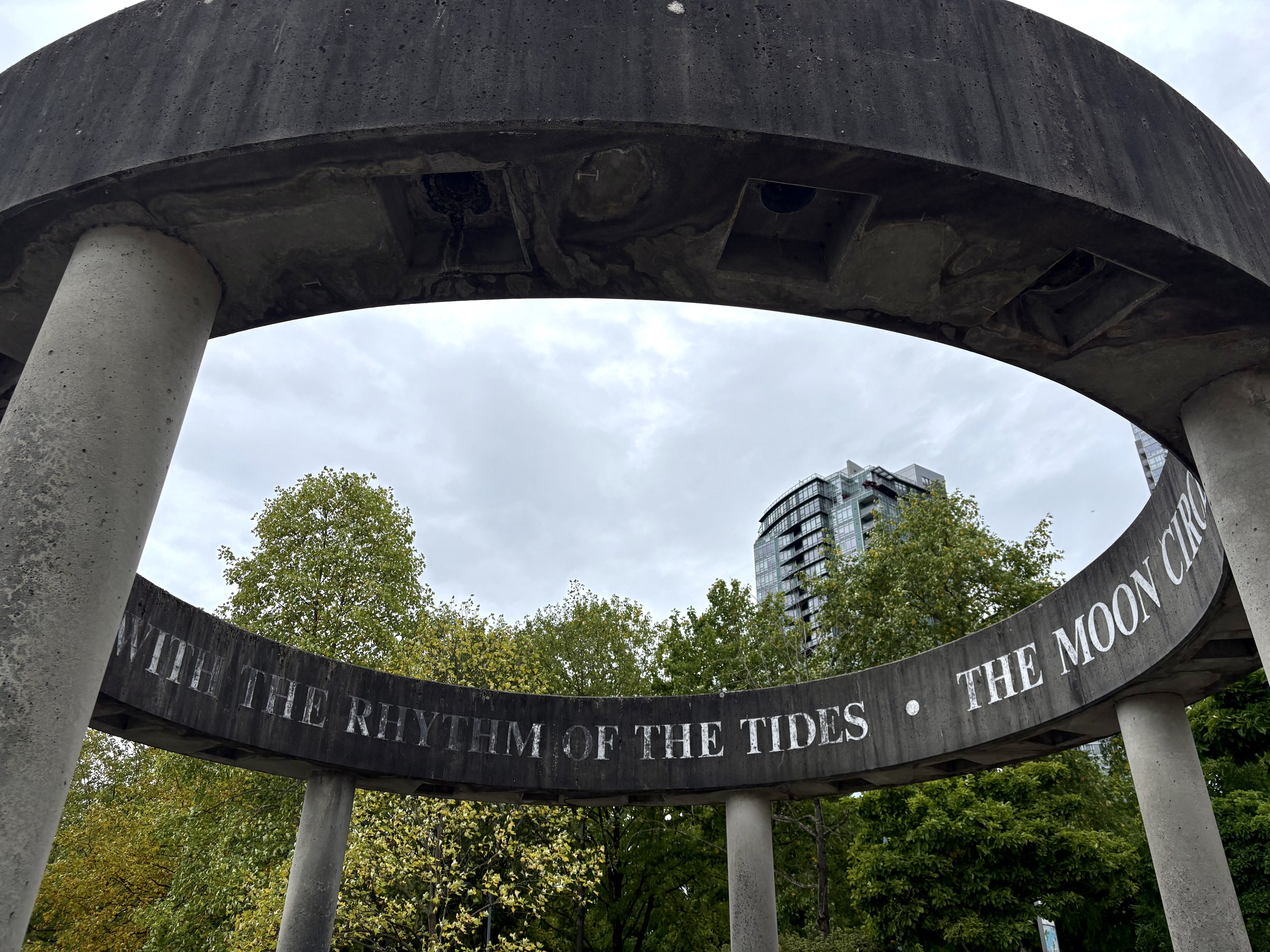
This time I also note, crossly, how grubby it now looks. I’m all for new installations, all for upgrades — but could we please also maintain what we already have? Even if you just give them a scrub, every now and then?
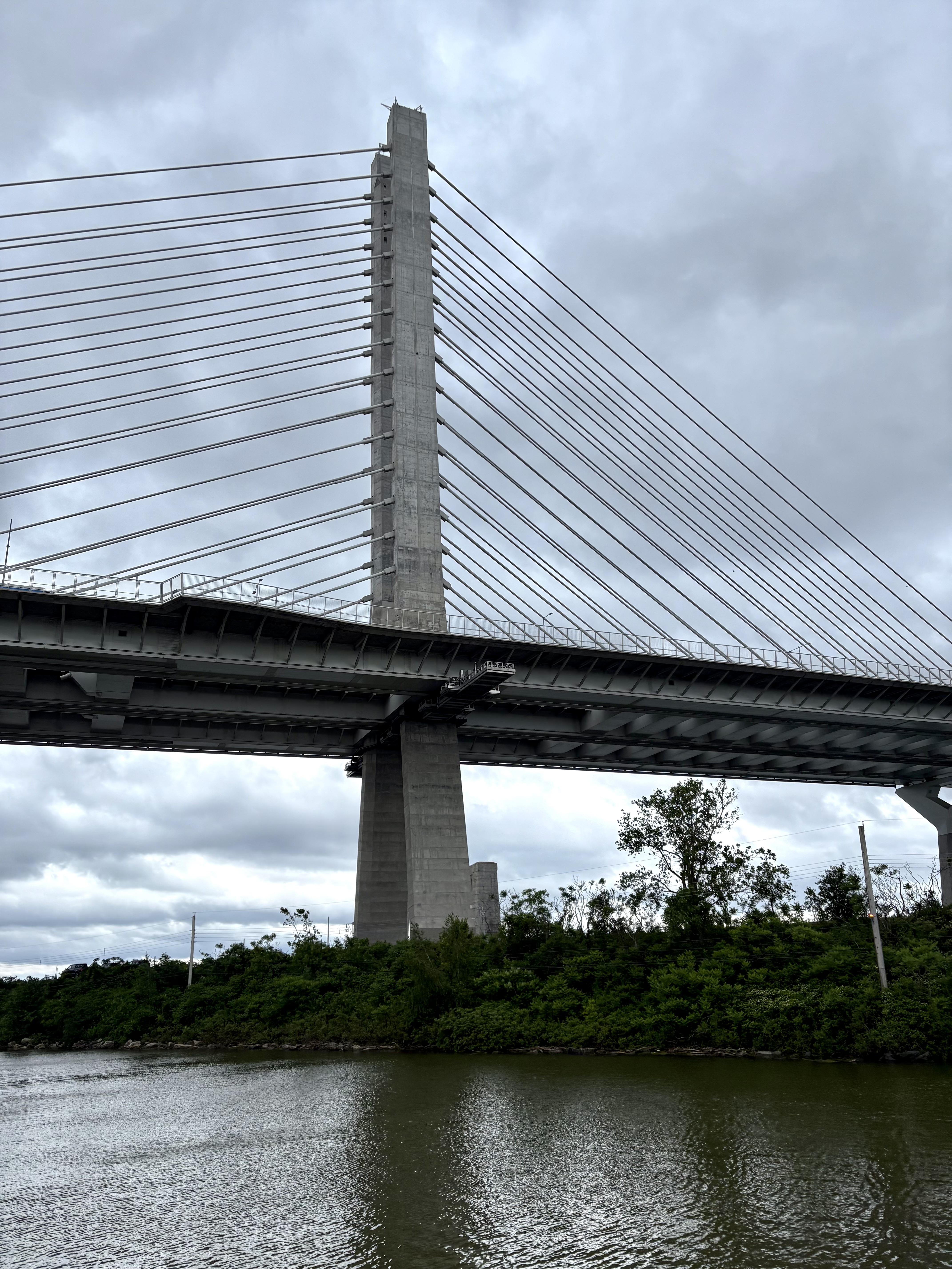
On west I go, on and on west, past George Wainborn Park and under the Granville Bridge…
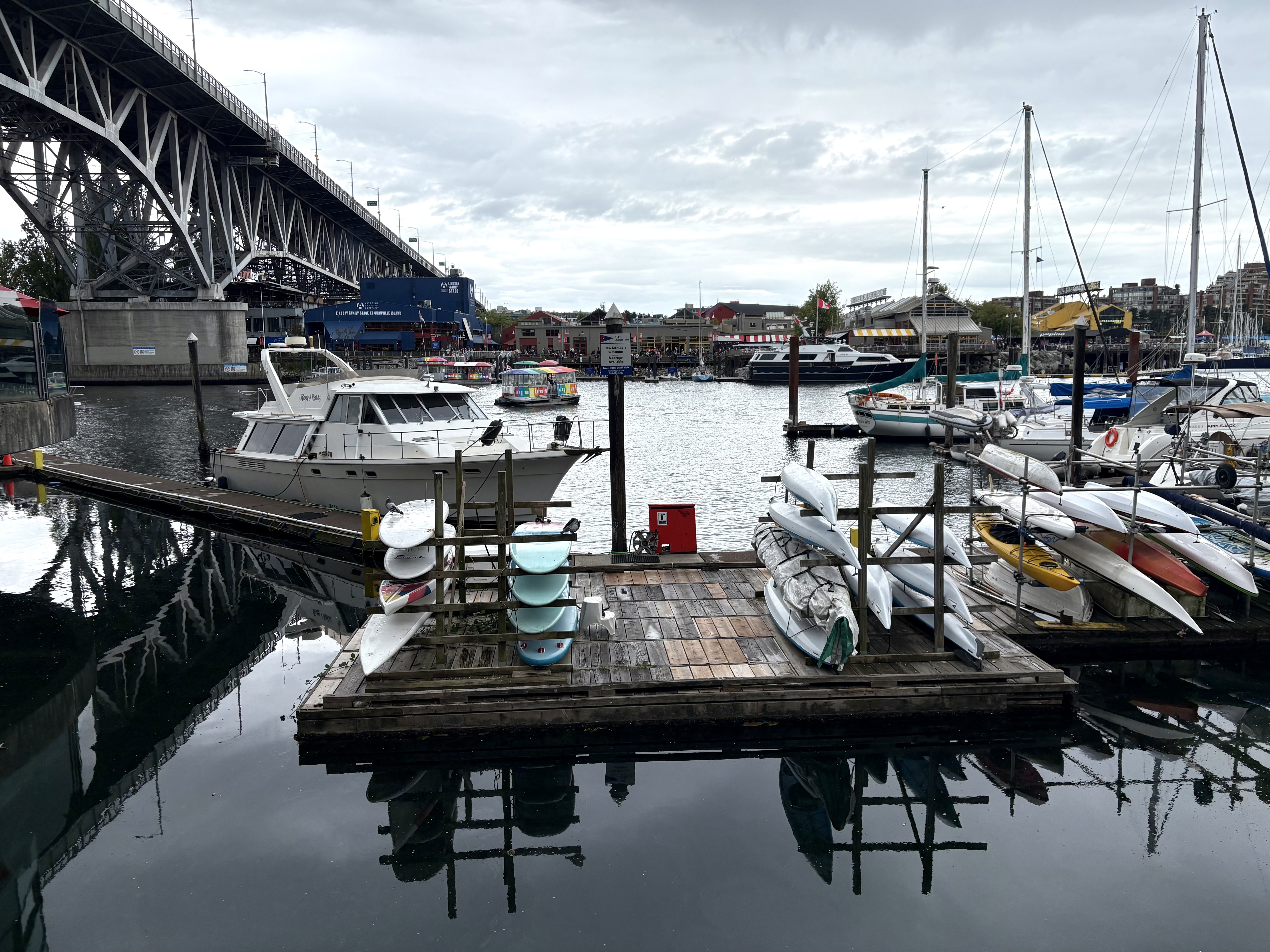
with its slam-damn view of all the activity across the water on Granville Island, in the water itself, and among the marinas and complexes here on the north side.
Things are markedly tonier than they were farther east, and private property suddenly disrupts the public Seawall. Arrows direct us around these towers; signs politely tell us that if we instead insist on walking through the grounds, we are to keep moving.
I walk through. I stop moving long enough to contemplate the sidewalk promo for Ancora, which on one side advertises its sake/oyster offerings, and on the other…
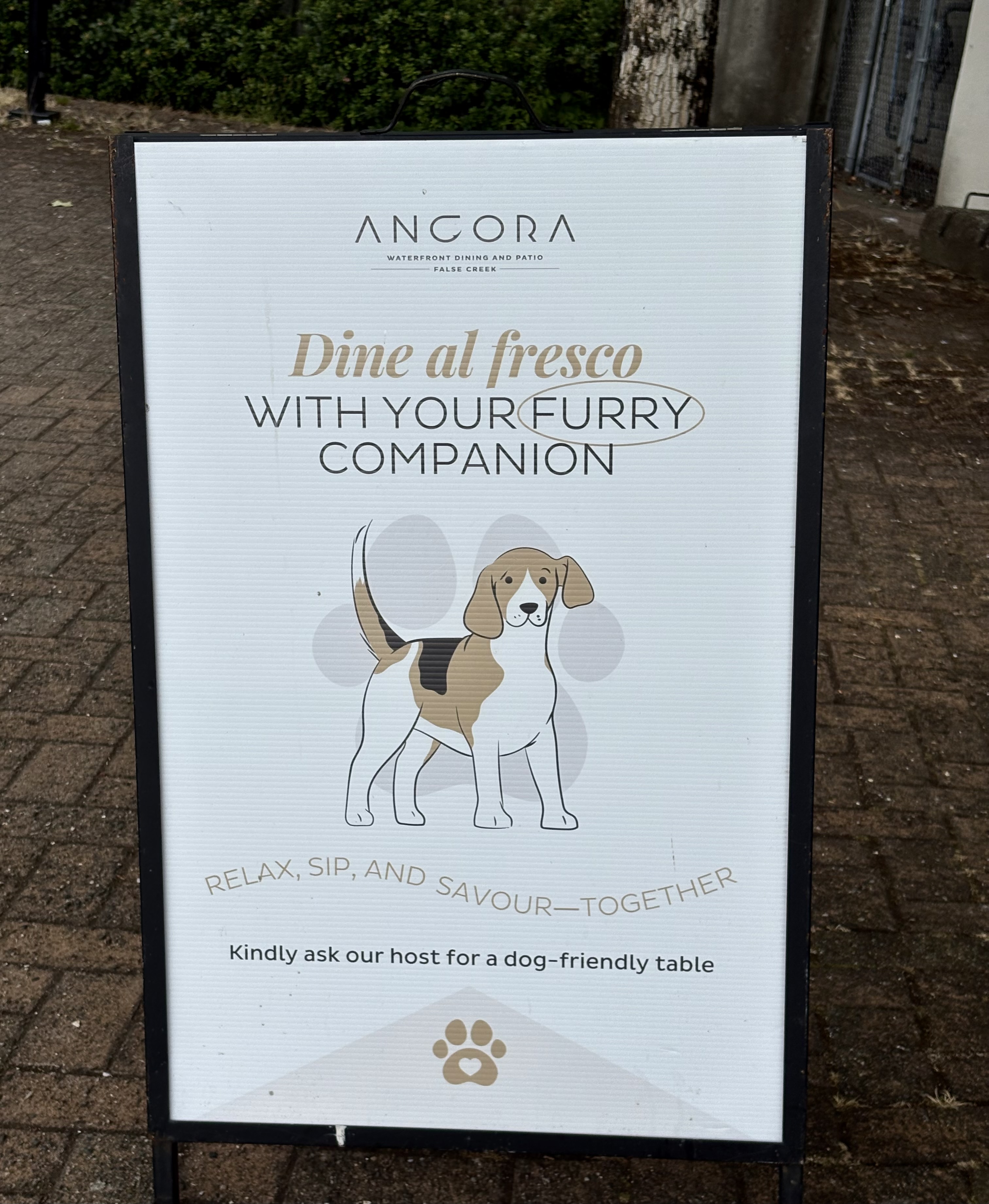
invites diners to bring their dogs.
I decide not to spend time sulking about the fact that dogs are more welcome, in this enclave, than I am.
My non-sulk policy is promptly rewarded. Back on public-access Seawall territory, at the foot of Hornby Street, I see a cheerful, handwritten invitation to walk half a block up Hornby and visit the inBtwn Café. I am charmed. I walk the half-block.
It is indeed a tiny café, clearly a local hangout, with a DIY artistic vibe. Ancora offers sake and oysters; inBtwn offers watercolour paint-pots and brushes. People use them.
I settle for a latte, not artistic expression, but I do ask co-owner Christy Evans about the backstory. She had hospitality experience, and COVID pushed her to act on what she meant by “hospitality”: bake treats to go with the coffee, create a community hub for socializing, give people resources for creative expression while they are socializing and eating treats and drinking coffee. Eventually husband and co-owner Wade Edwards quit his construction business and joined her full-time — as an artist (whose works always include a tiny red Christy-figure) and, it turned out, as master scone-maker as well.
After that break I carry on, energized by more than the caffeine.
Past the Hornby dock, past Burrard Bridge, I’m right up to the Aquatic Centre dock at the eastern edge of Sunset Beach. I could just drop down for a ferry — but, no-no, I can’t do that. I have to walk on. Down there, halfway down Sunset Beach, I can see my absolute-favourite False Creek artwork.
That dark, U-shaped curve on the sand toward the right? That’s it.
I keep walking. I want to visit it close up, and then I’ll double back to the Aquatic Centre dock. (Since it’s the last dock on this north shore of False Creek, I have no choice. Not if I want to stick to my home-by-ferry idea. And I do.)
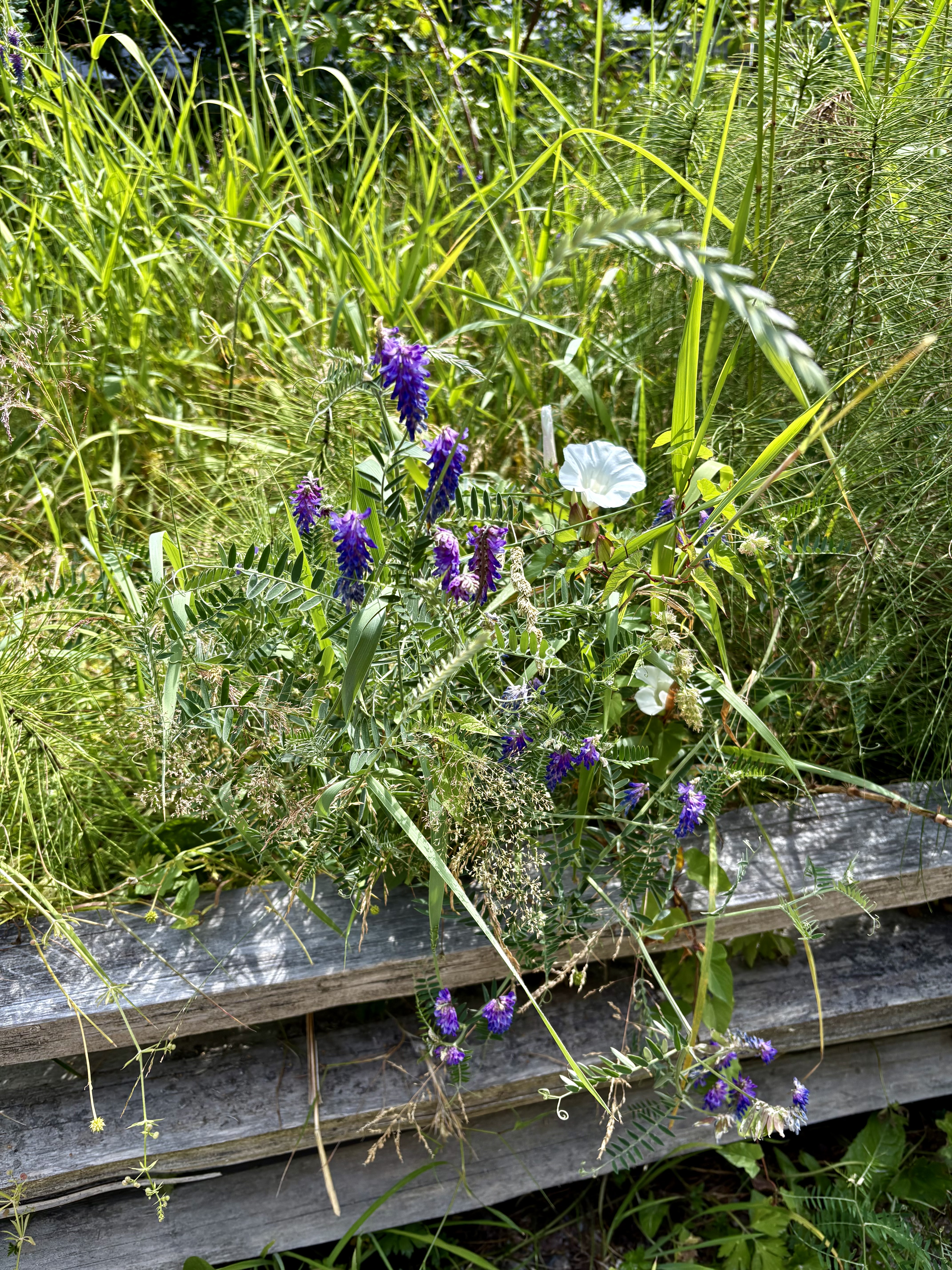
Pretty wild flowers along the way, also tangles of bushes to which I’m not paying much attention until a woman striding past me points at them and calls out, “Blackberries!” I look, and yes they are. Not yet black, but working on it.
Then, finally I’m up to the sculpture. I can never remember the title, but when I read it again, it makes literal, mathematical sense.
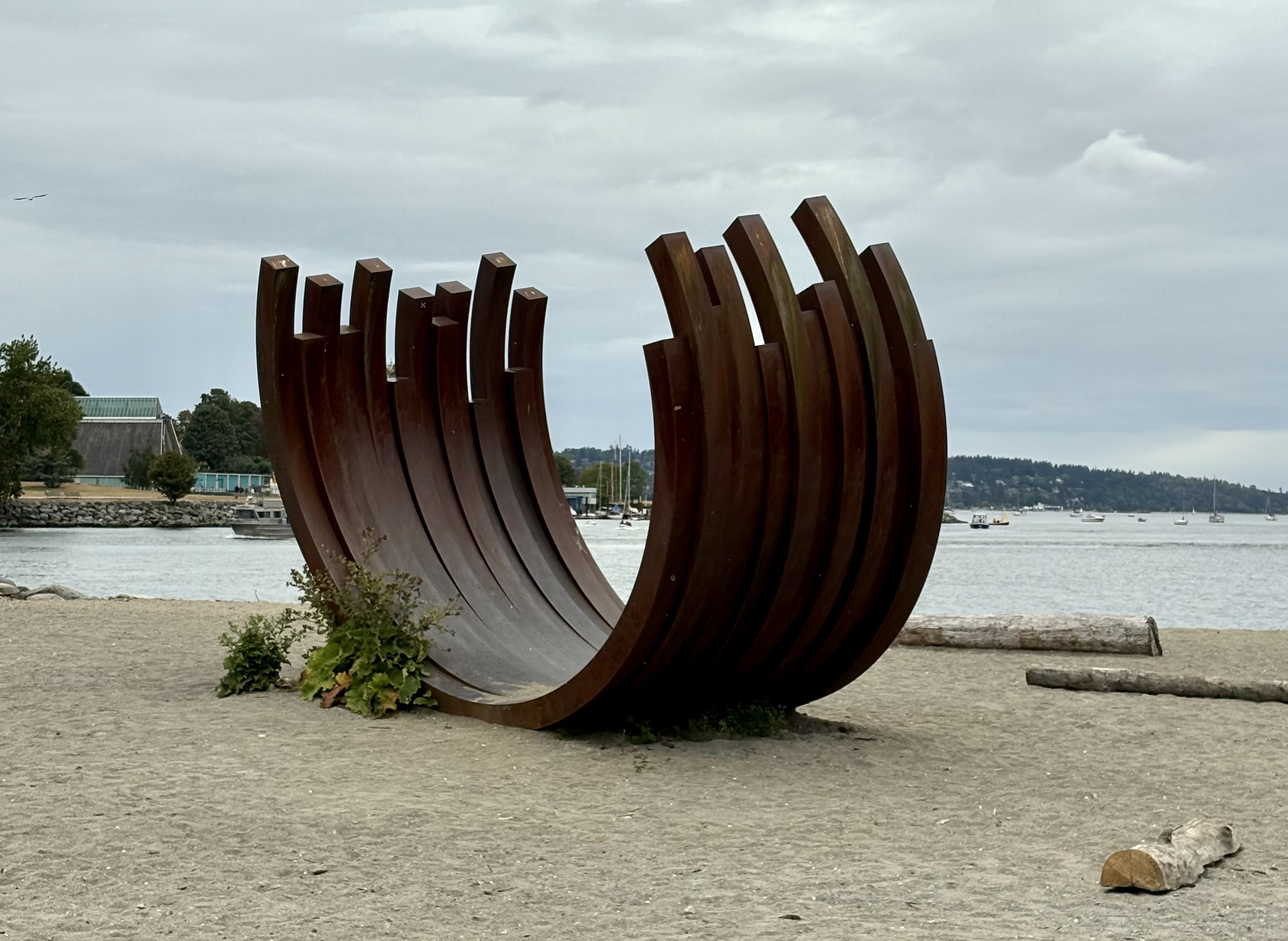
This is 217.5 Arc X 13 — 13 arcs of metal, each curved to 217.5°. It is the work of French artist Bernar Venet, one of his Arc series designed to celebrate “the beauty, balance and malleability of raw steel,” and a legacy installation from the 2009-2011 Vancouver Biennale. (Later, I learn the 2025-2027 Biennale has brought us 241.5 Arc X 2 by the same artist, which is already installed at 884 East Georgia Street in Strathcona. Yes, I will go visit it.)
It’s ferry-time. To get all the way back east to the Village dock, I have to transfer to another boat on Granville Island — which I do.
I chat with the couple next to me, who, it turns out, used to live right opposite where I now live. We agree it’s a terrific neighbourhood. We also agree that it’s an uphill climb from the dock. We grimace, they in memory and I in anticipation. (I do not confess that, just sometimes, I wimp out and take the bus.)
No wimping today. Uphill I walk heading south, and then more uphill as I swing to the east. I pause a moment crossing Quebec Street. Not to catch my breath! How could you suggest such a thing!
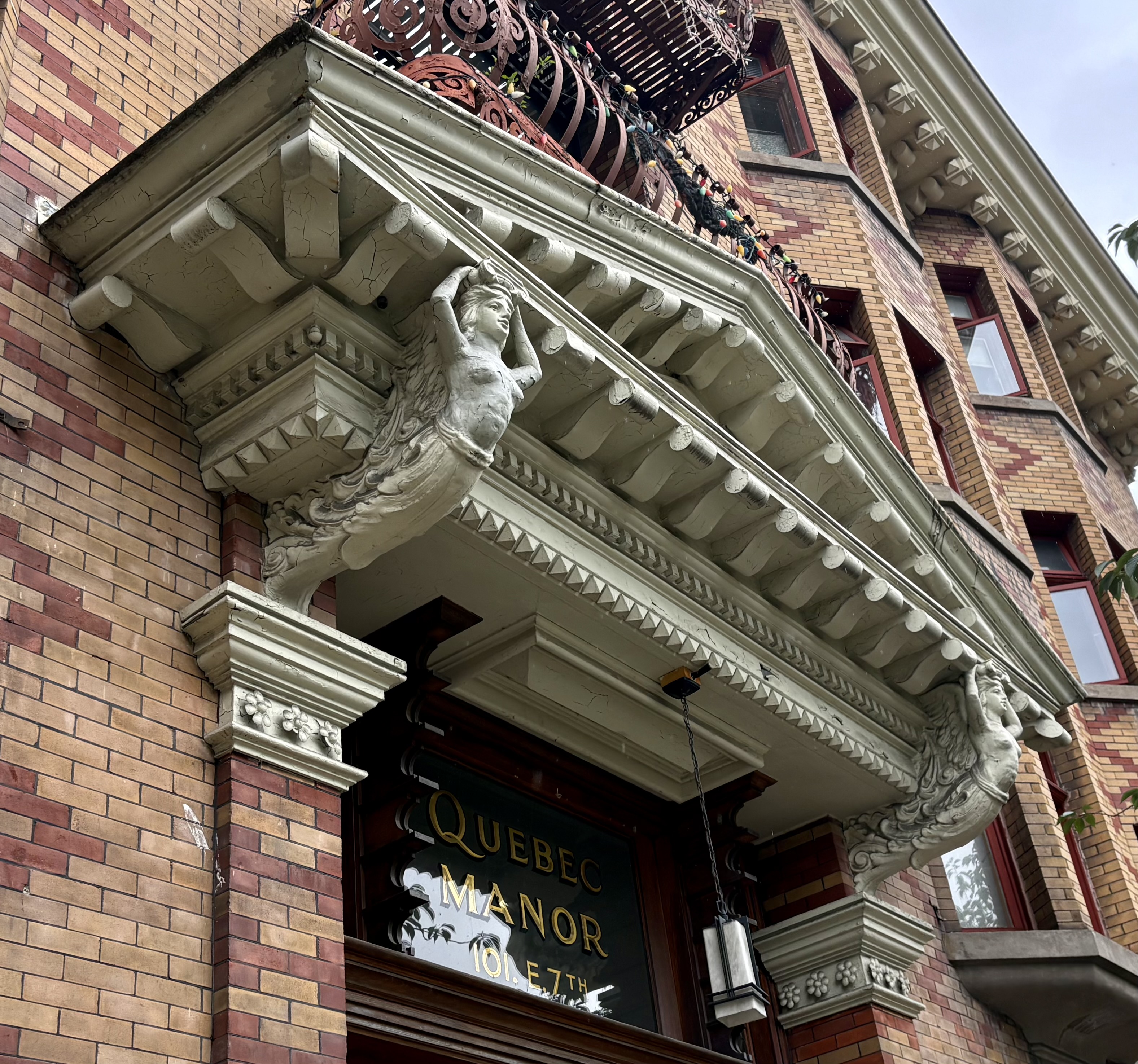
I am merely paying my respects to les belles dames. the guardian angels, of Quebec Manor.