21 June 2026 – I could go silly with factoids in this post, so I am busy slapping myself down. Even so, I encourage you to click the links and go silly on your own time.
The “it” in question is the St. Lawrence Seaway in general, the Montreal-Lake Ontario stretch of it in particular, and its locks system in very particular. I am awe-struck by all of it. This Seaway still stands as one of the greatest, the most challenging, engineering feats of all time.
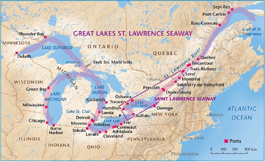
The feat? Four years of mid-20th c. construction that re-contoured the 306 km. stretch of the river between Montreal and Lake Ontario, adding a new lake, 7 locks and a major power dam in the process, and engaging 22,000 workers who among other things moved 210 million cubic yards of rock & gravel and poured more than 6 million cubic yards of concrete.
On top of all that, it was a bilateral (Canada/USA) project. First mooted by a US politician in the late 19th century, the Canadian government took up the idea in the 20th c., only to be met with stonewalling on the American side. Post-World War II, however, when giant American mining companies saw depleted high-grade ore reserves in the USA but large high-grade reserves in their Canadian operations, that was when — gee, what a surprise — the US government came on-side.
We learn some of this along the way. Mostly, I just want to gawk, in awe and respect, at the complexity of applying the basic principles that drive any lock system. You want to move a vessel from one water level to another? Basically, you put it in an elevator and send it one way or the other: seal it up nice & tight in a lock at the entry-water level; add or subtract water as necessary to reach the desired exit level; open the exit gate; and away it goes.
In a ship, in a lock big enough to accommodate freighters twice as long and half as wide as a football field (up to 225.5 m/740 ft in length and 23.8 m/78 ft at the beam)… then that simple concept gets pretty impressive.
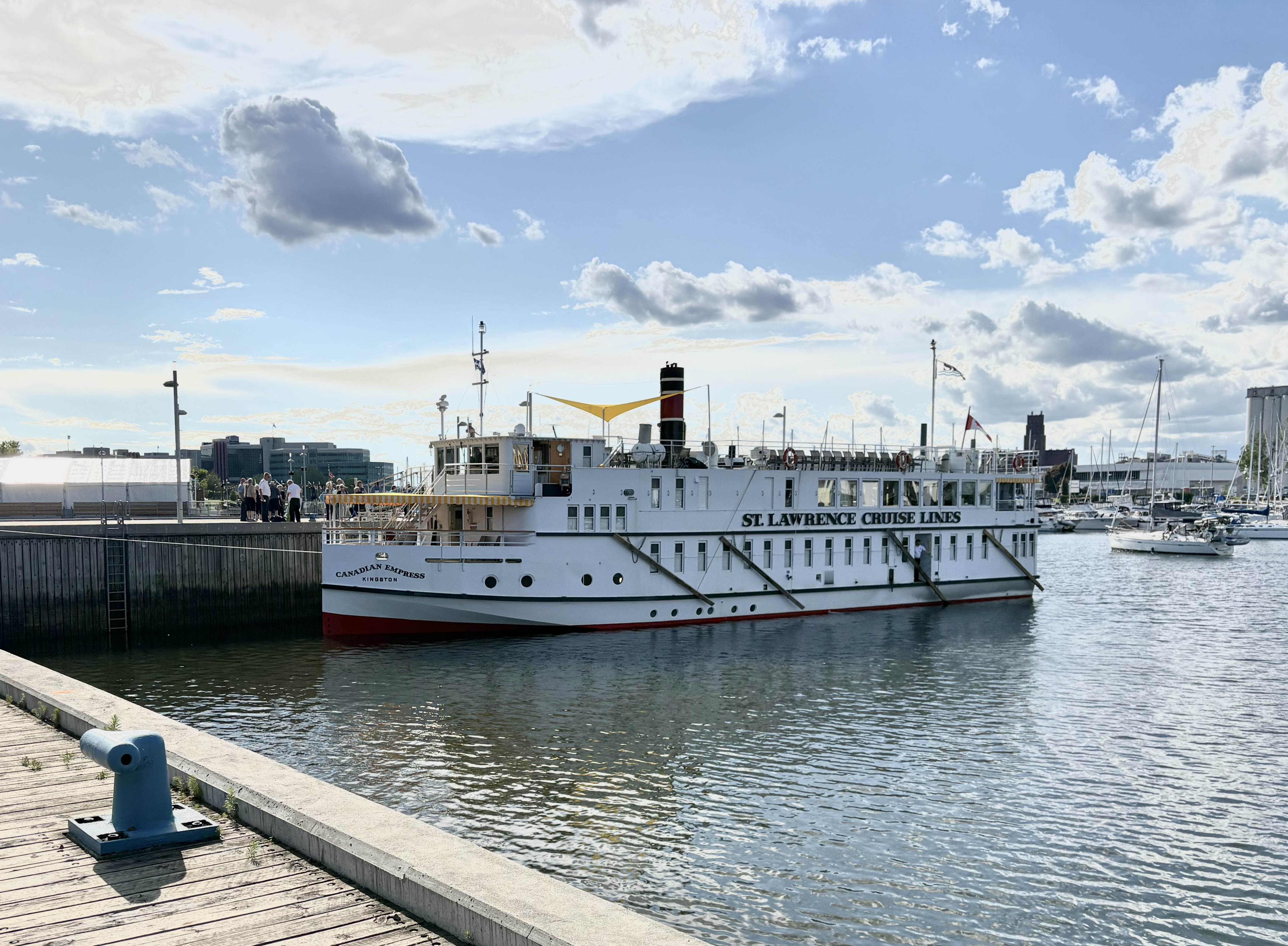
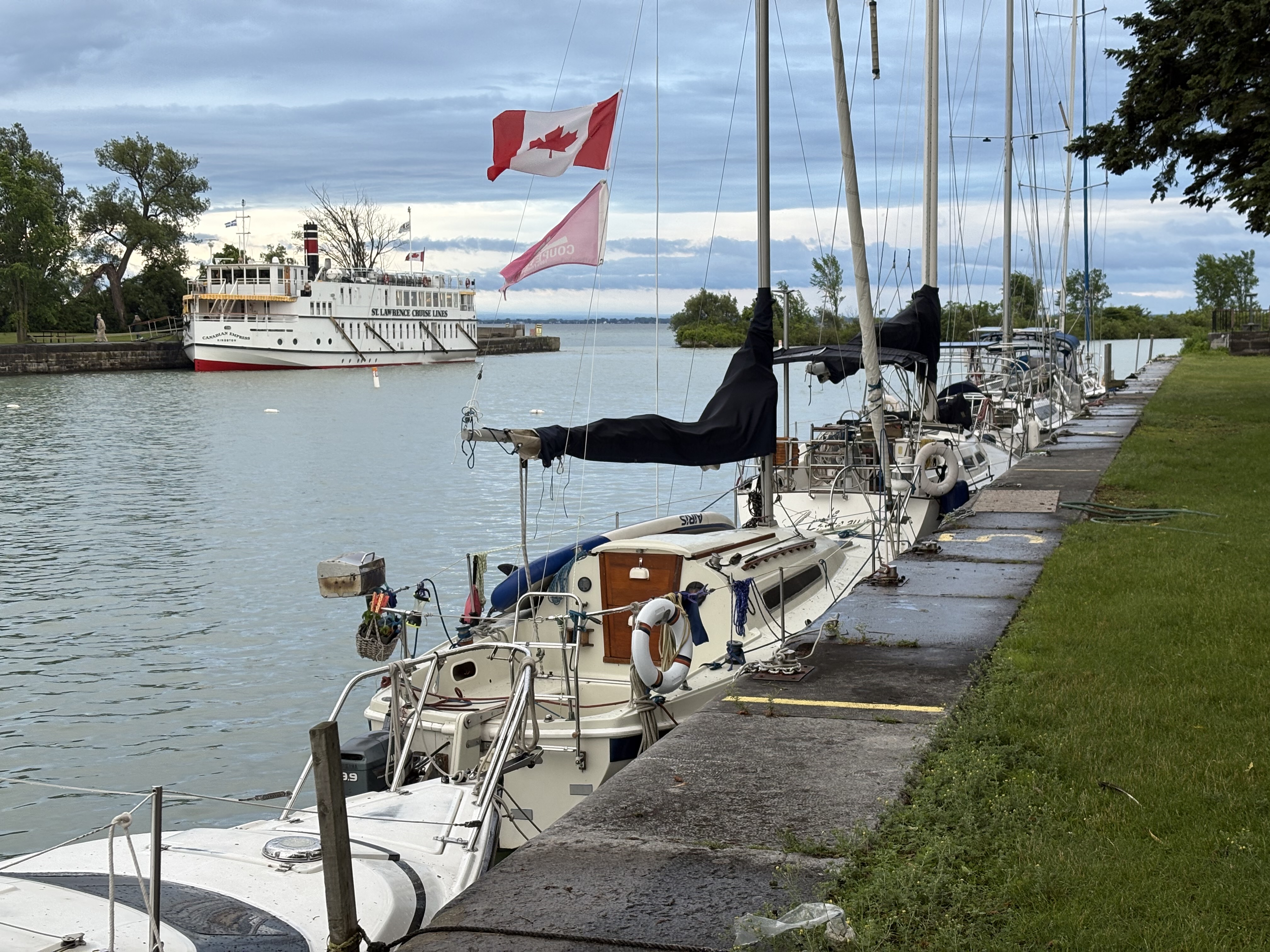
And necessary. Canadian Empress is a small ship, out there for pleasure, but these ocean-going freighters are transporting cargo to/from the heart of North America. They need fast (average 45 min./lock), dependable conveyance through a water-level difference of 75 metres (246 ft) over the 306 km (189 mile) stretch between Montreal and Lake Ontario. The total rise, from sea level on up to Lake Superior (reached by additional locks), is the equivalent of a 60-storey building.
(Aren’t you glad I haven’t gone silly with factoids?)
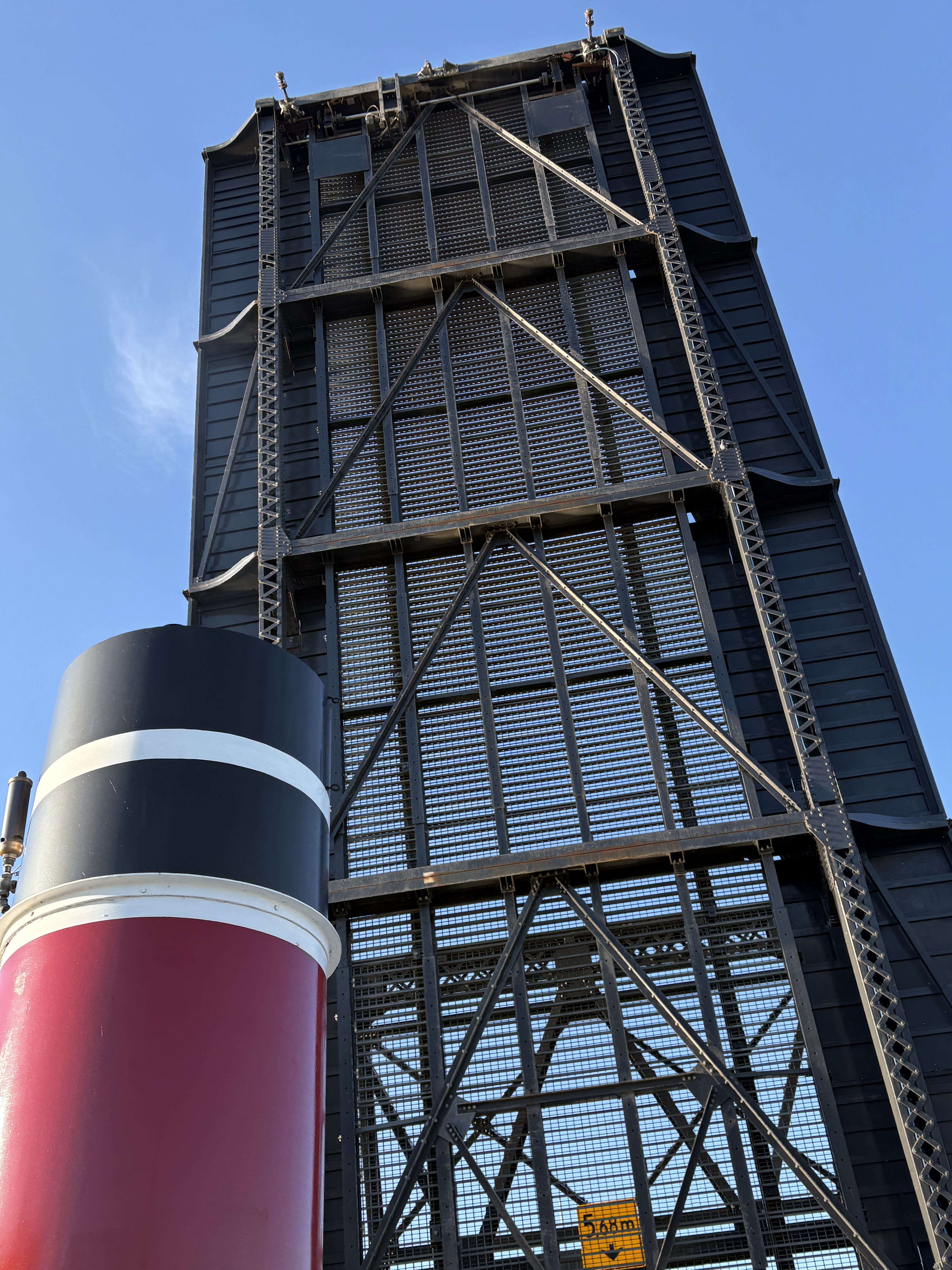
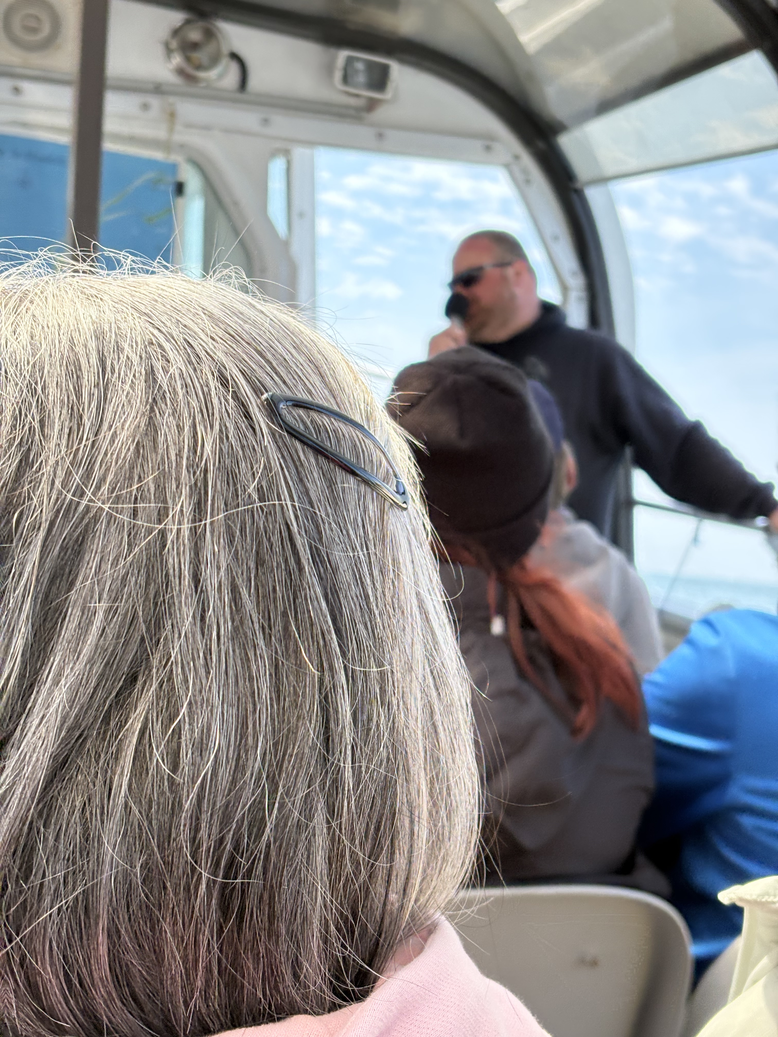
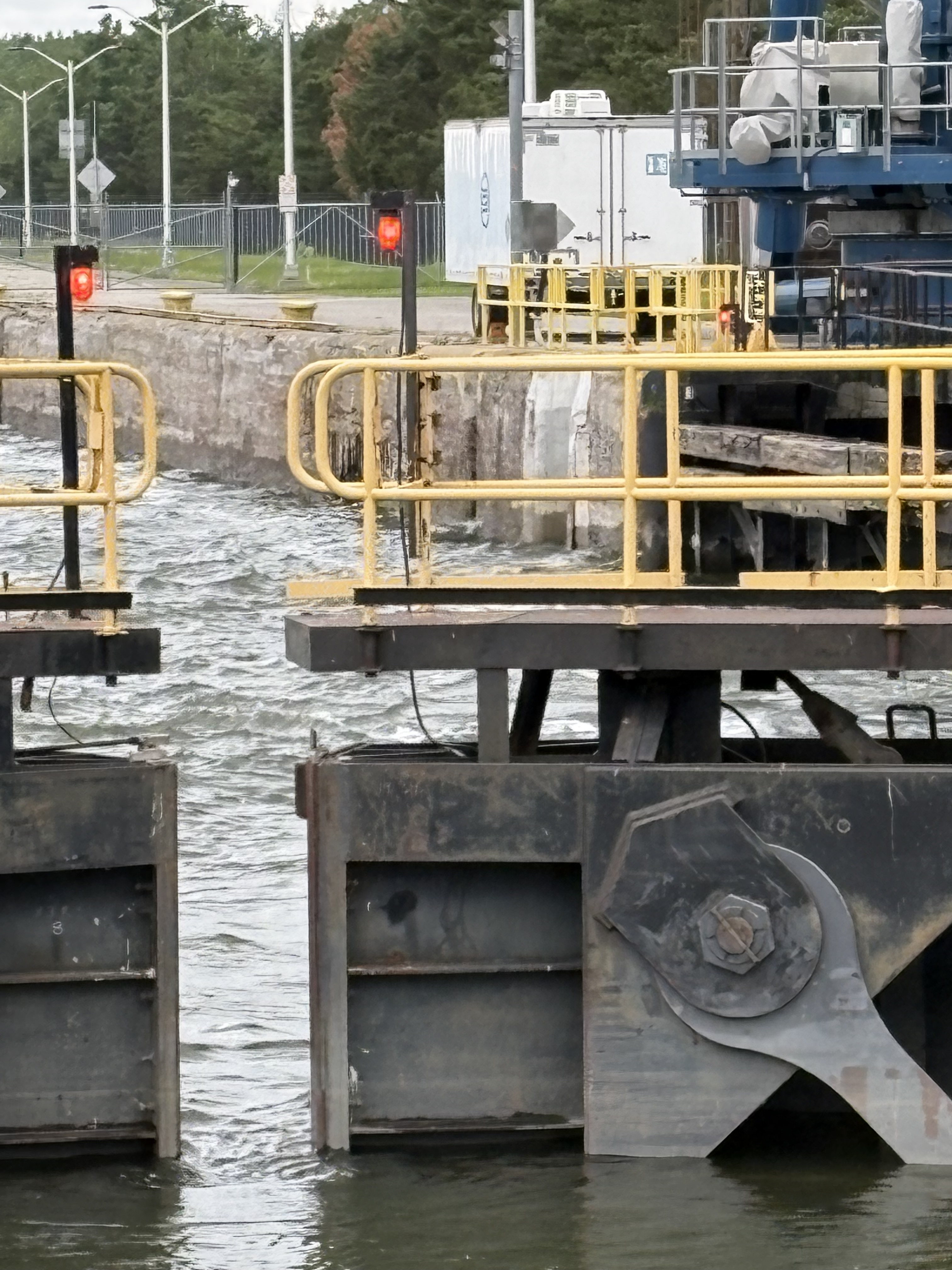
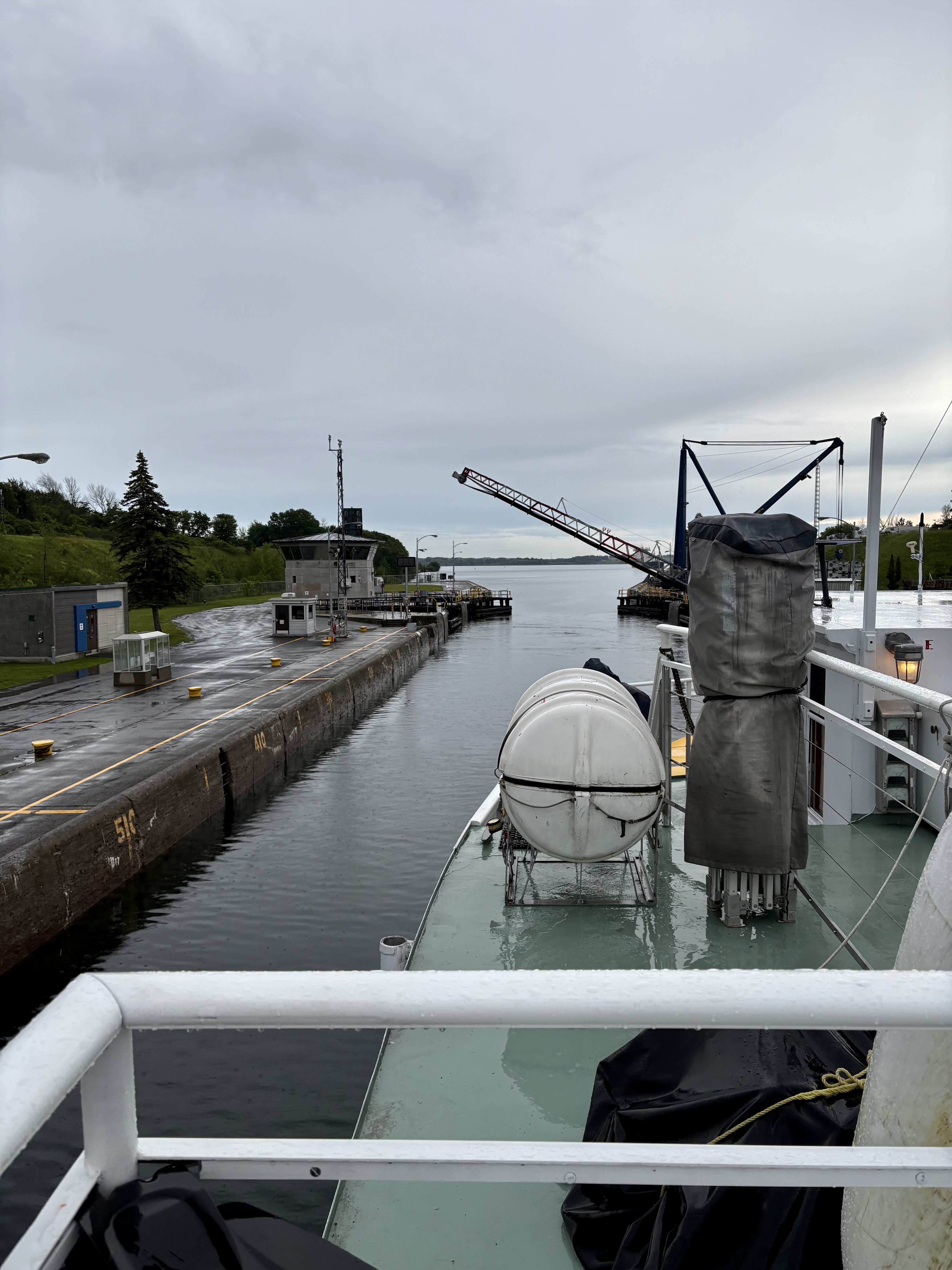
We travel all 7 locks (5 Canadian, 2 American). The second lock, Côte Sainte-Catherine, illustrates the process. We position ourselves, and await the green lights (and open entry gate) that tell us to proceed…
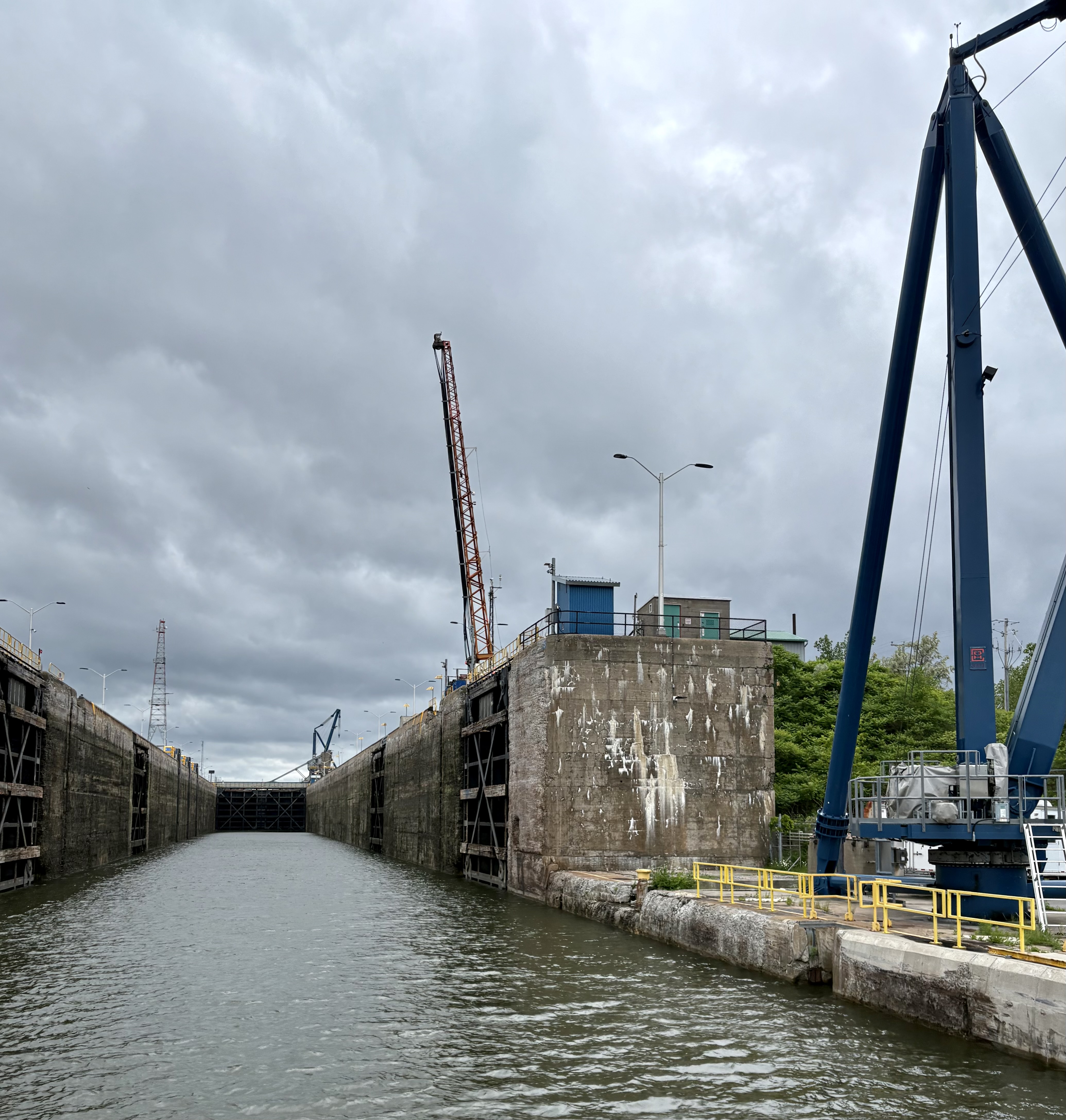
and since we are travelling west and will need to rise, lock by lock, to the Lake Ontario level, water now sluices into the lock…
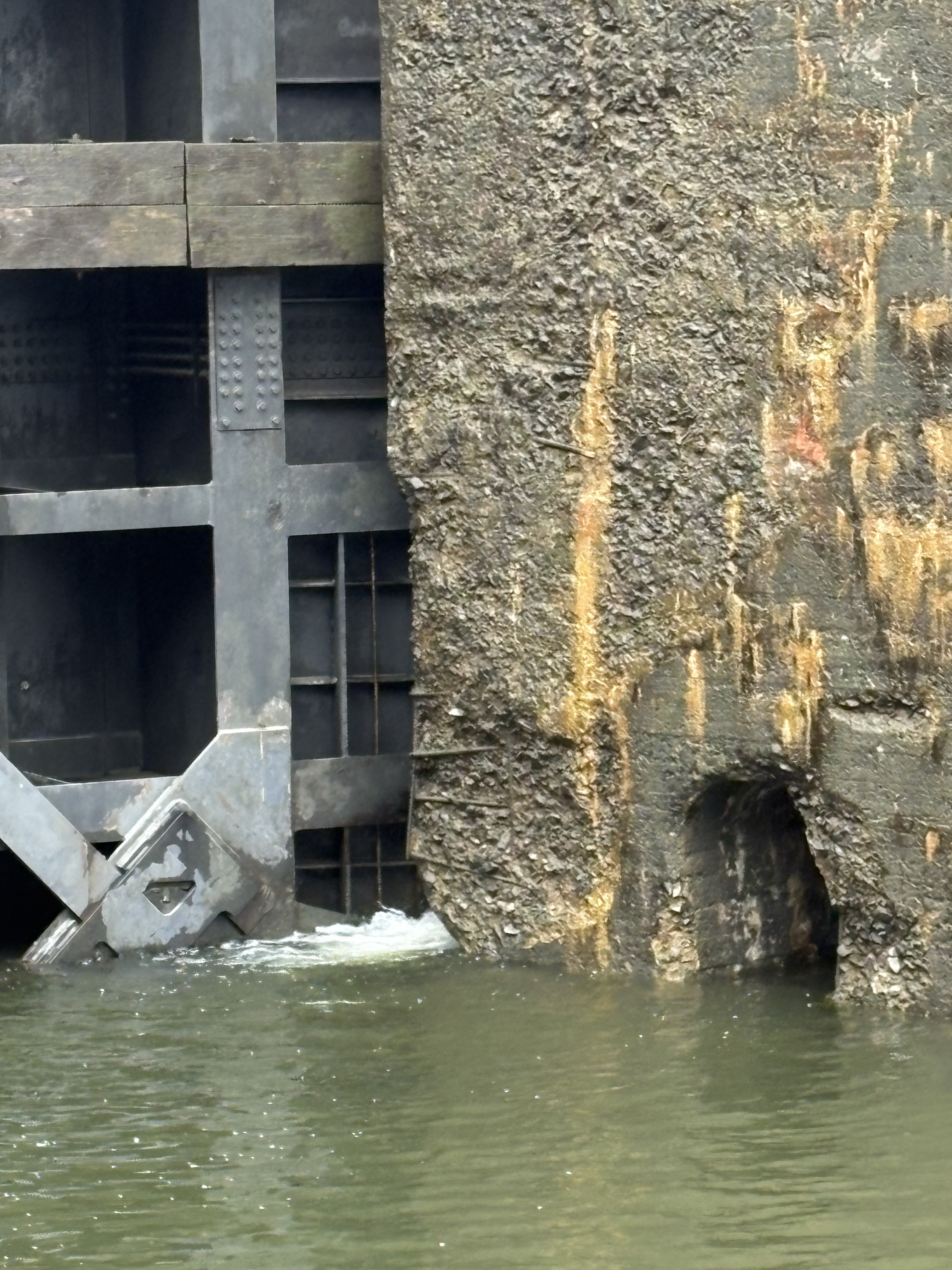
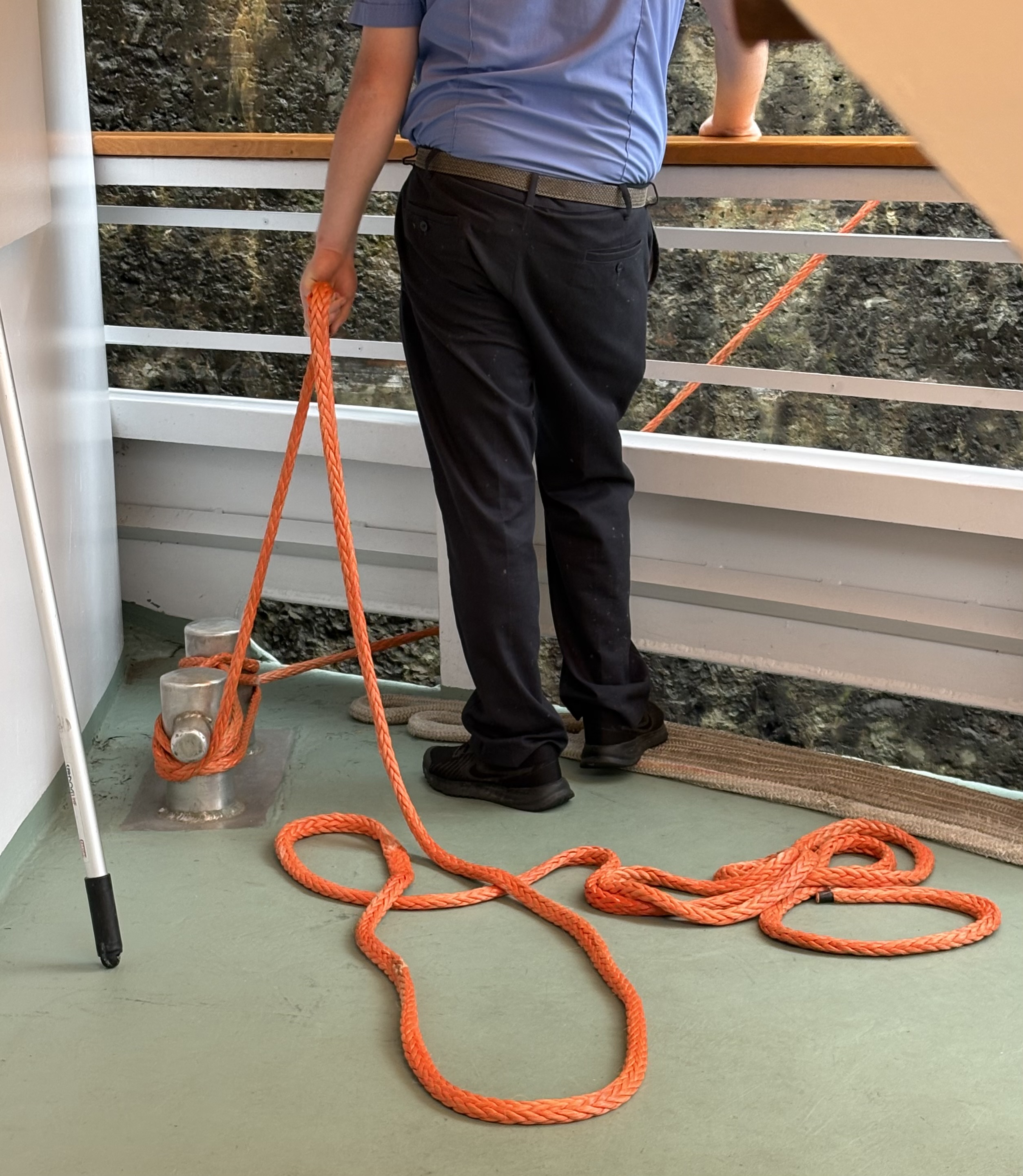
with a deckhand constantly manipulating the lines to keep the ship taut and positioned.
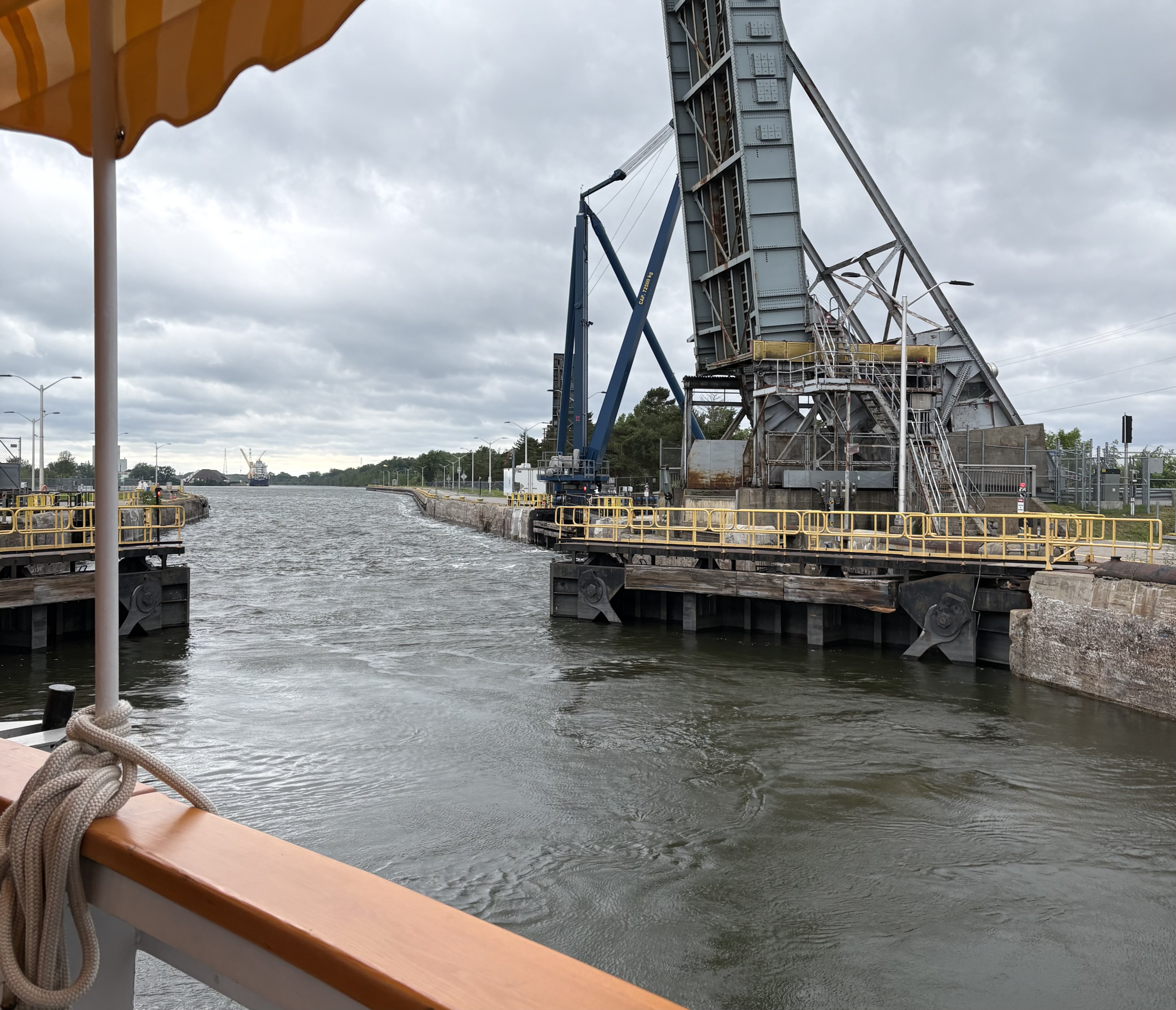
Once we’ve reached the level of the waters beyond, they open the exit gate…
and out we go.
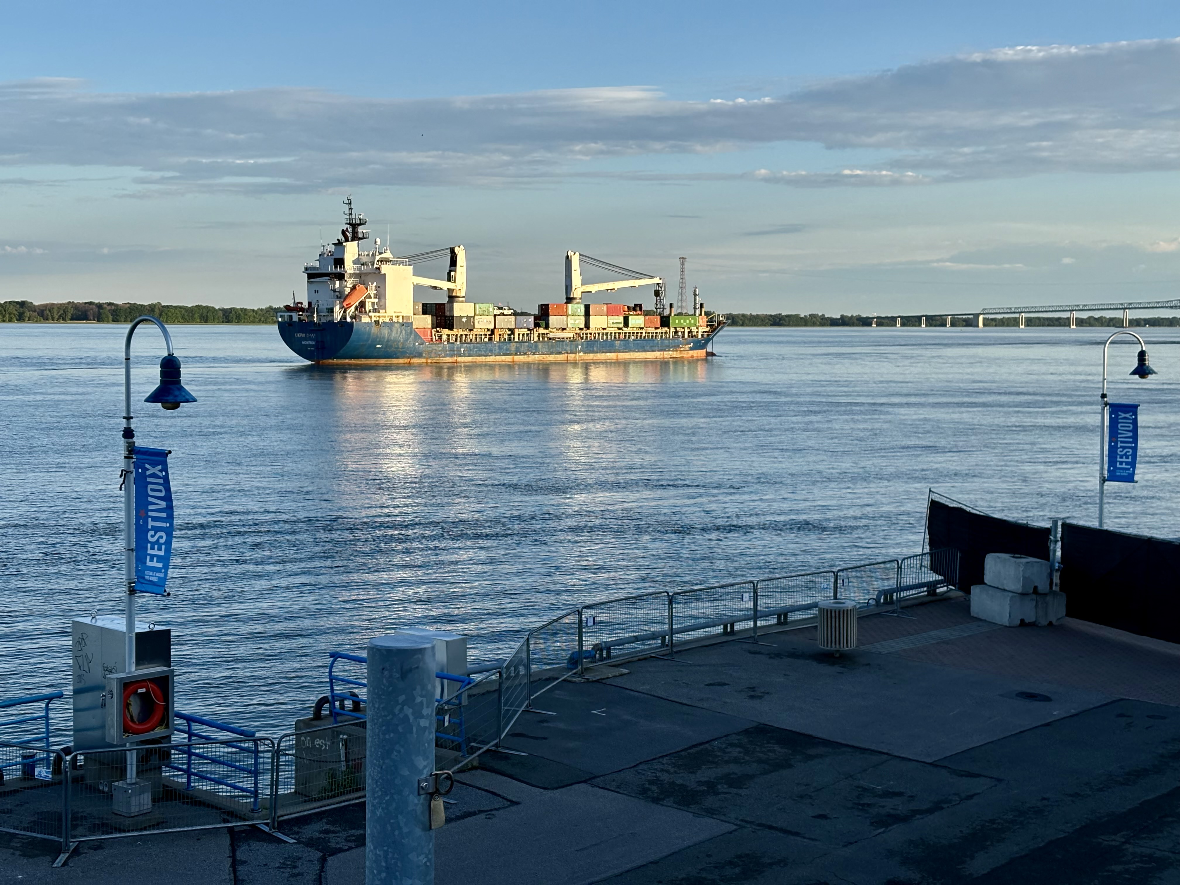
Travelling this great waterway, we meet — of course — freighters. Such as the Taiga Desgagnes…
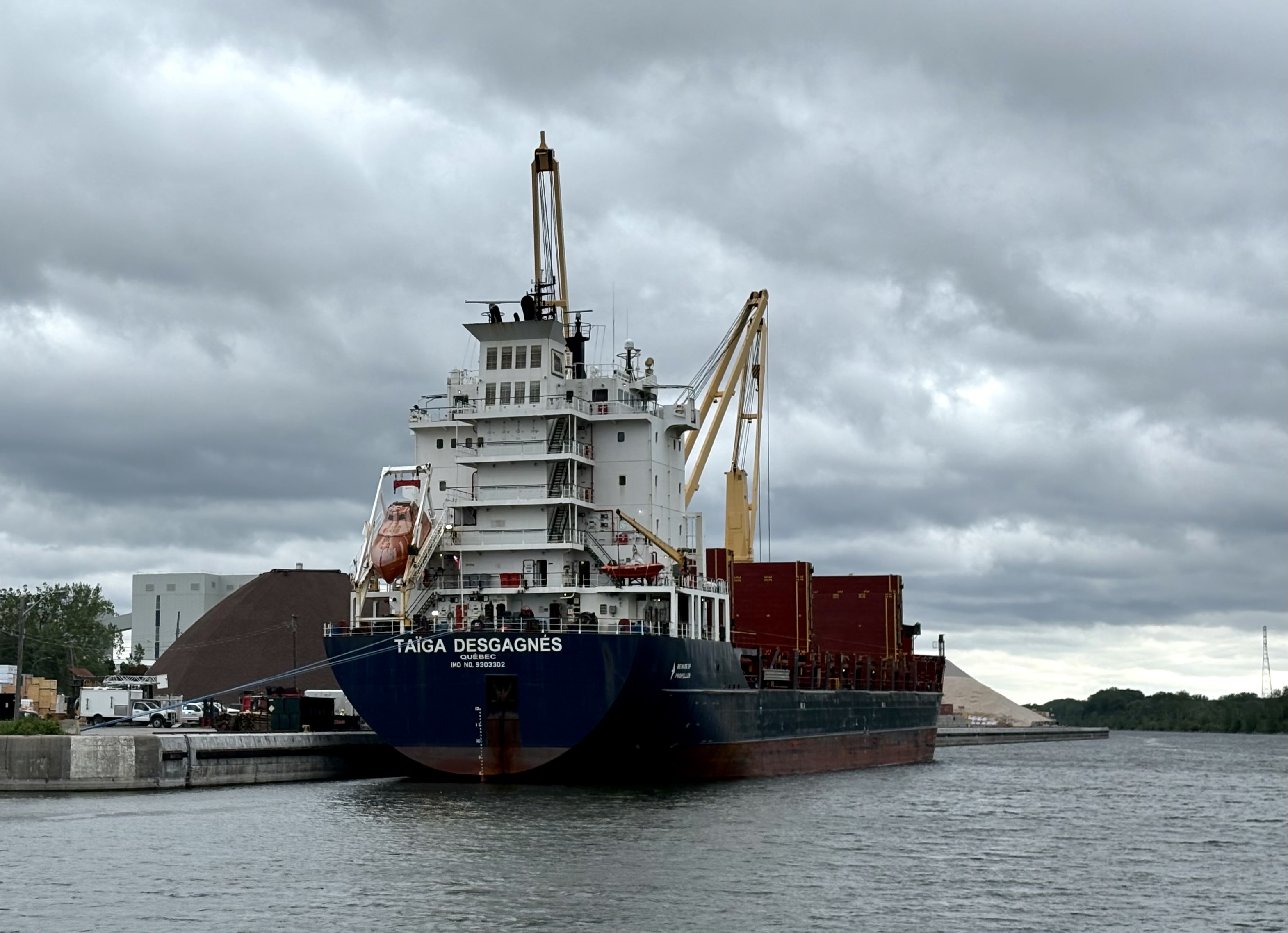
just west of the Côte Sainte-Catherine lock, busy loading cargo. Sharp-eyed fellow passengers swear that’s a fire engine being hauled aboard, but I can’t verify the claim.
We meet other freighters, including one depressingly named Barnacle, and also the CSL Welland, surely the jauntiest of the bunch. As she awaits her turn for the Snell lock (one of the two American locks)…
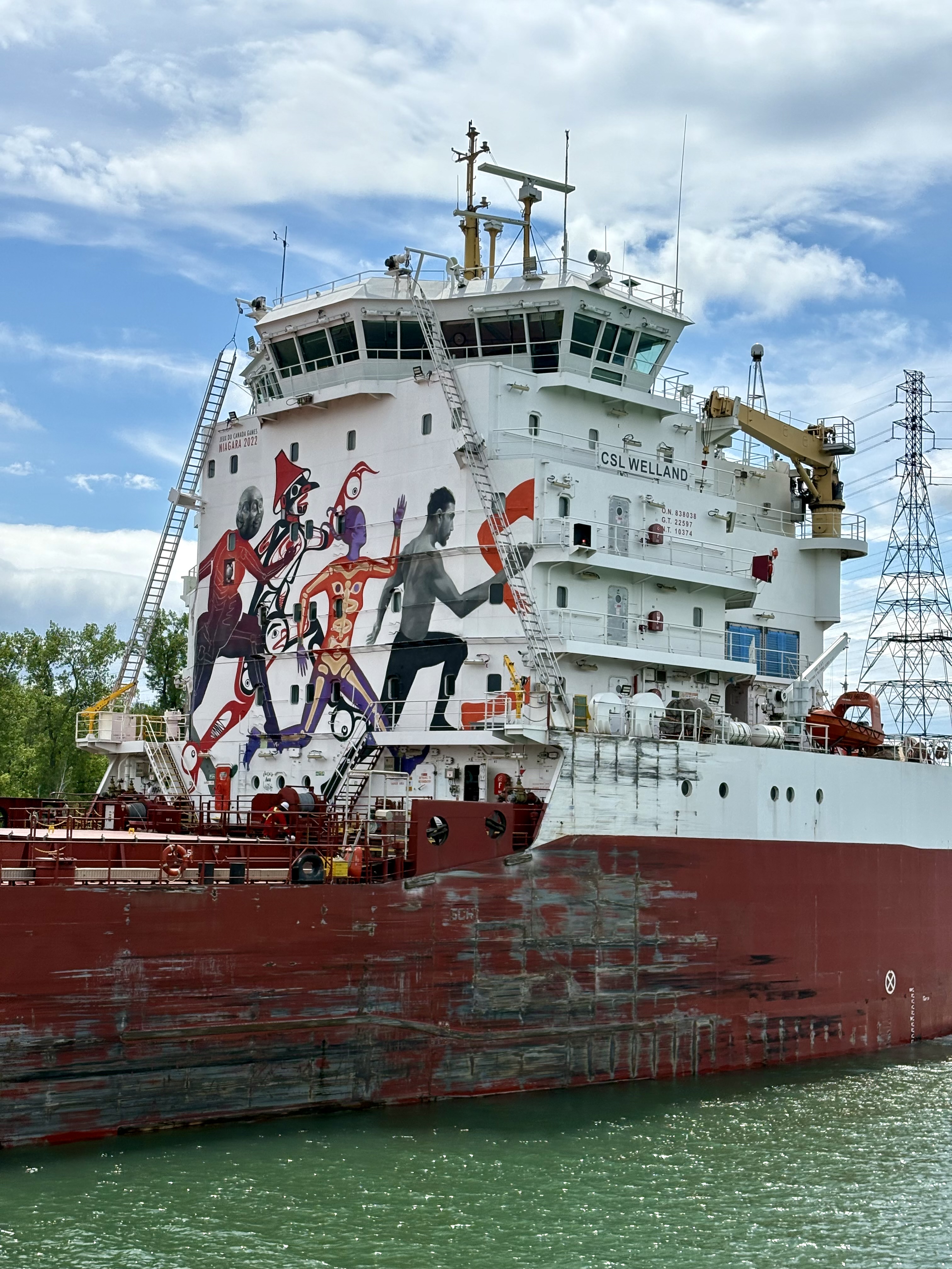
we have time to admire her sporty mural.
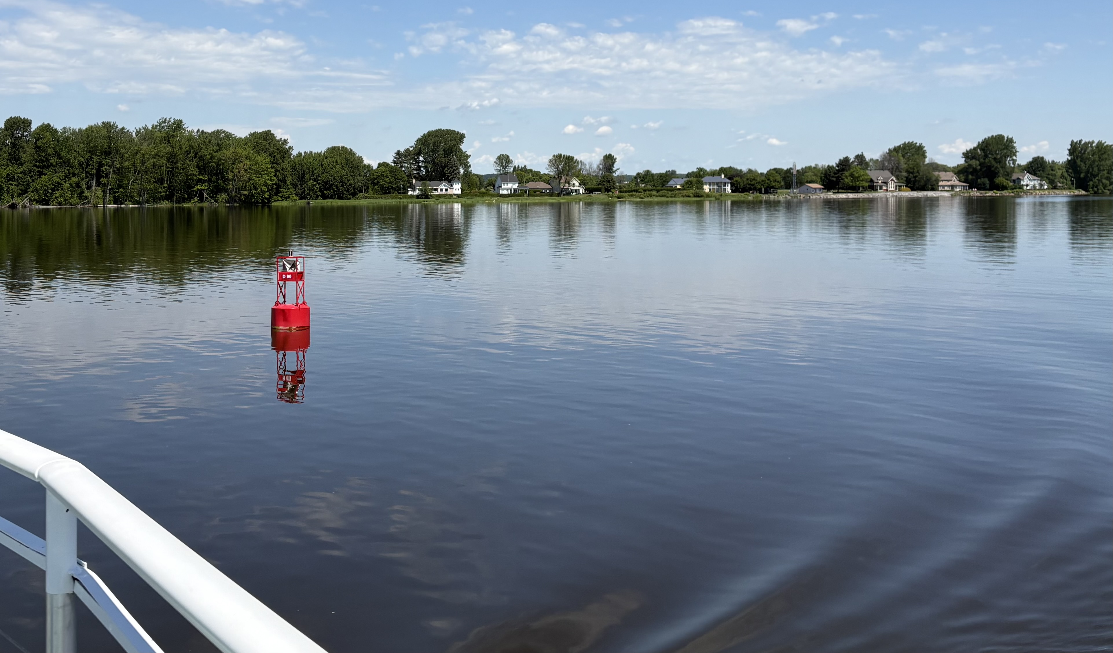
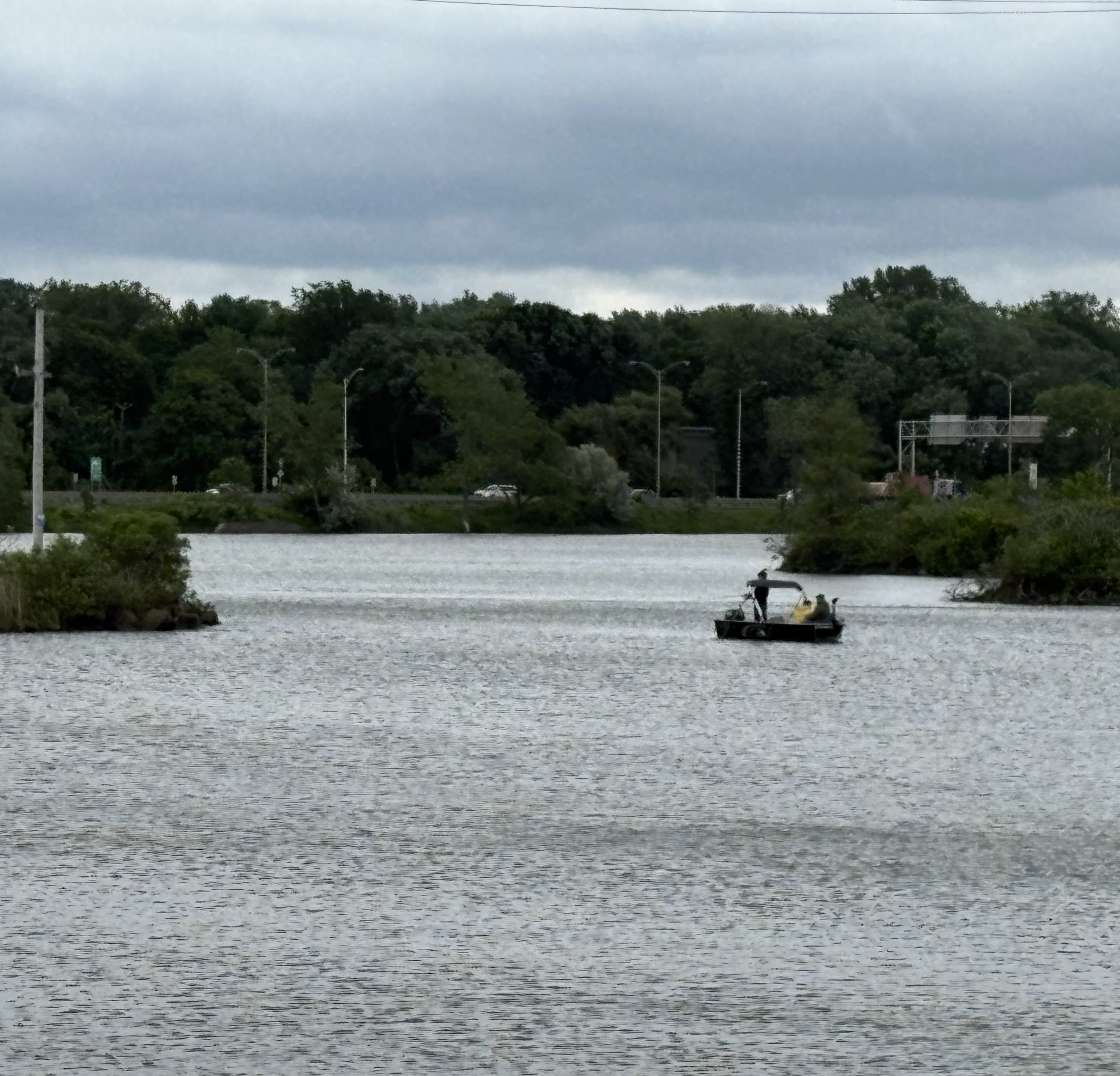
We meet other vessels as well, some very small and each with its own purpose — everything from personal small boats out for a bit of fishing (in the South Canal near Montreal)…
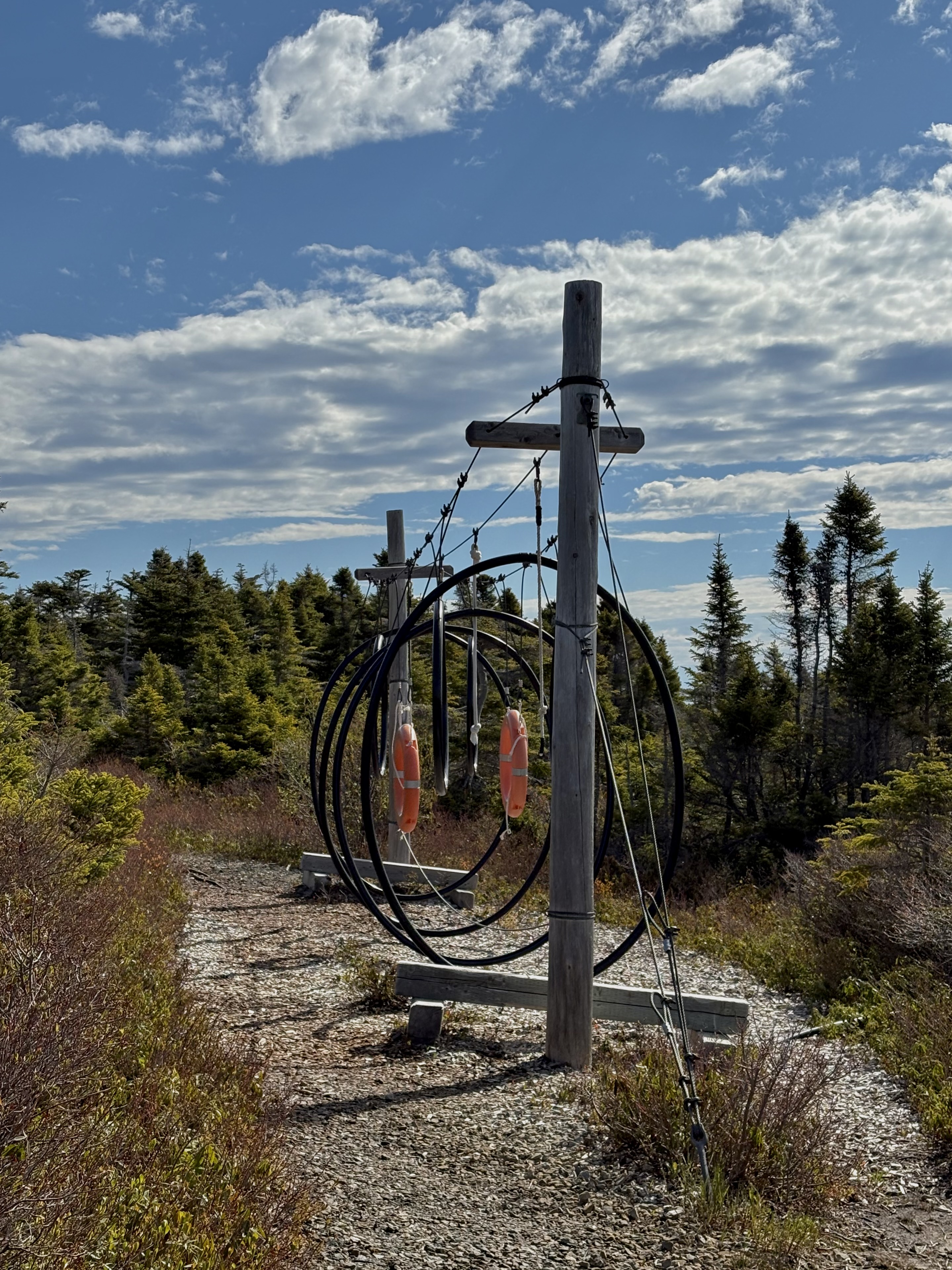
to working vessels, this one marked “Incendie”, fire patrol…
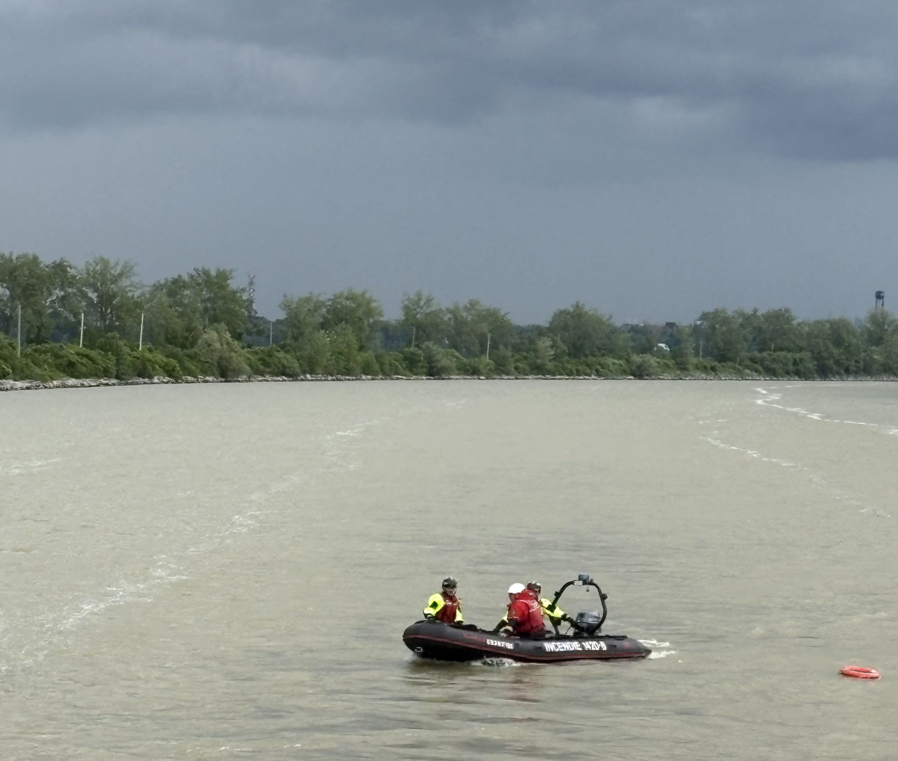
and apparently doing some kind of research involving that red ring. Perhaps studying currents?
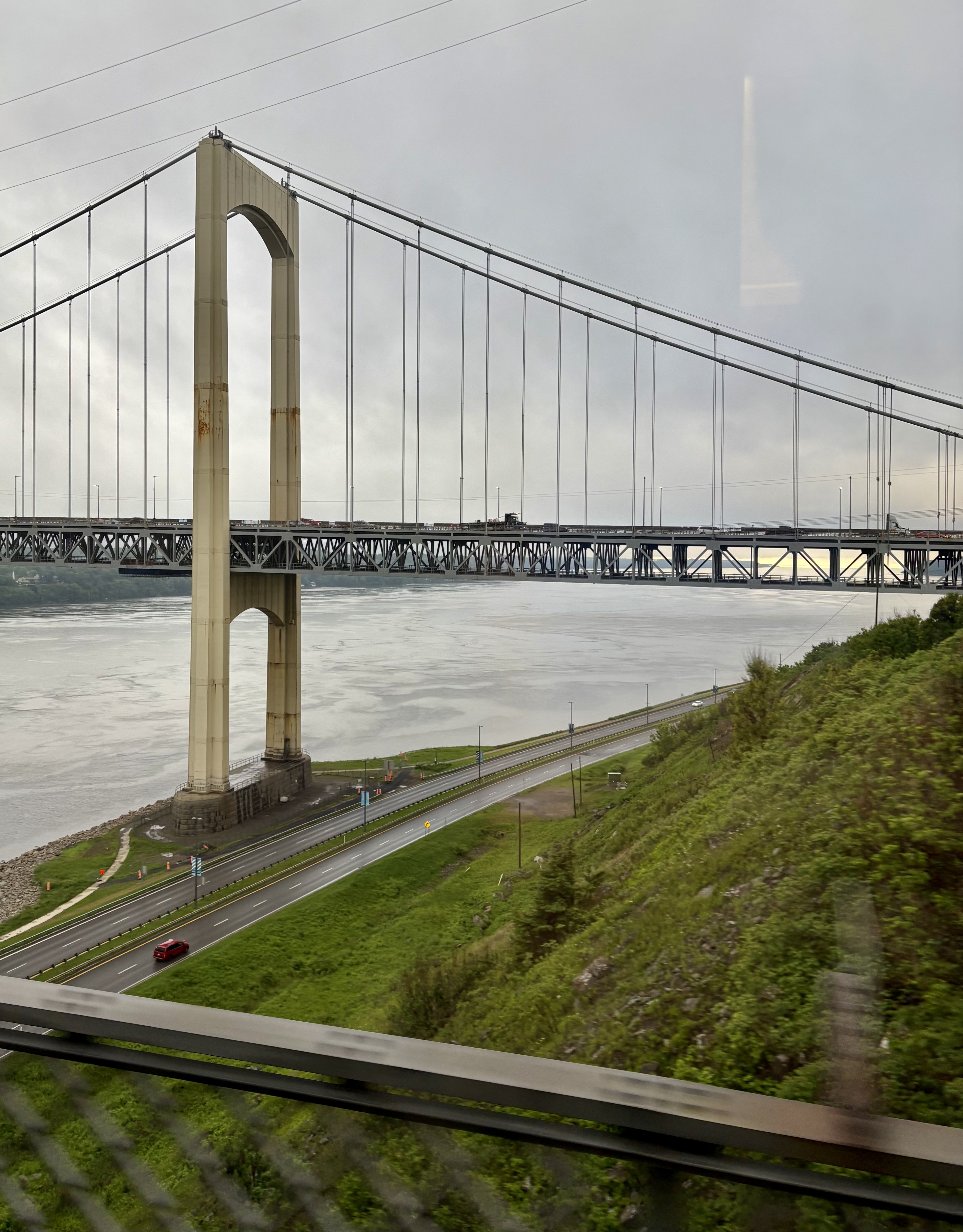
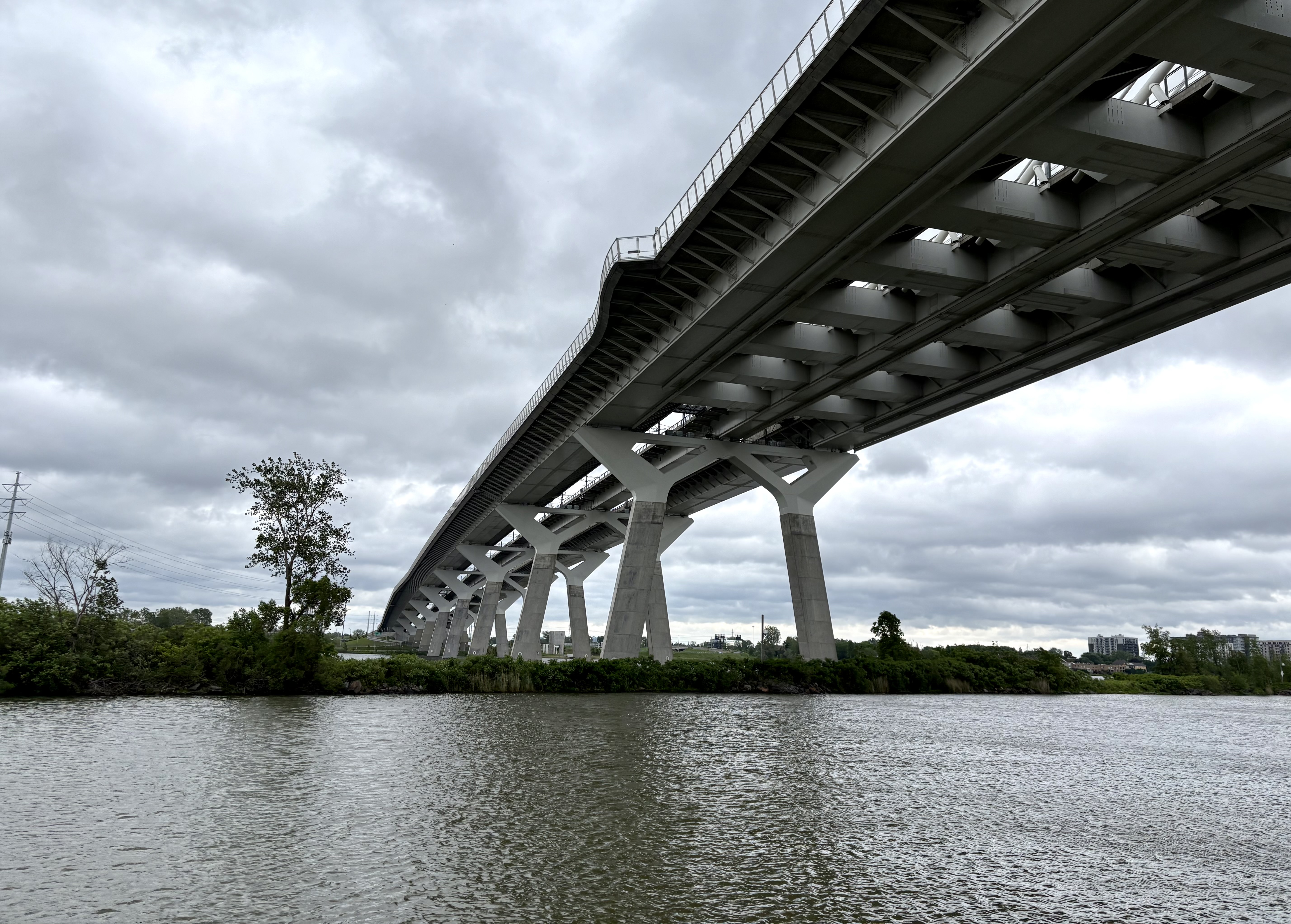
And we meet bridges. Here, the Samuel-de-Champlain Bridge, a cable-stayed structure that is as elegant above…
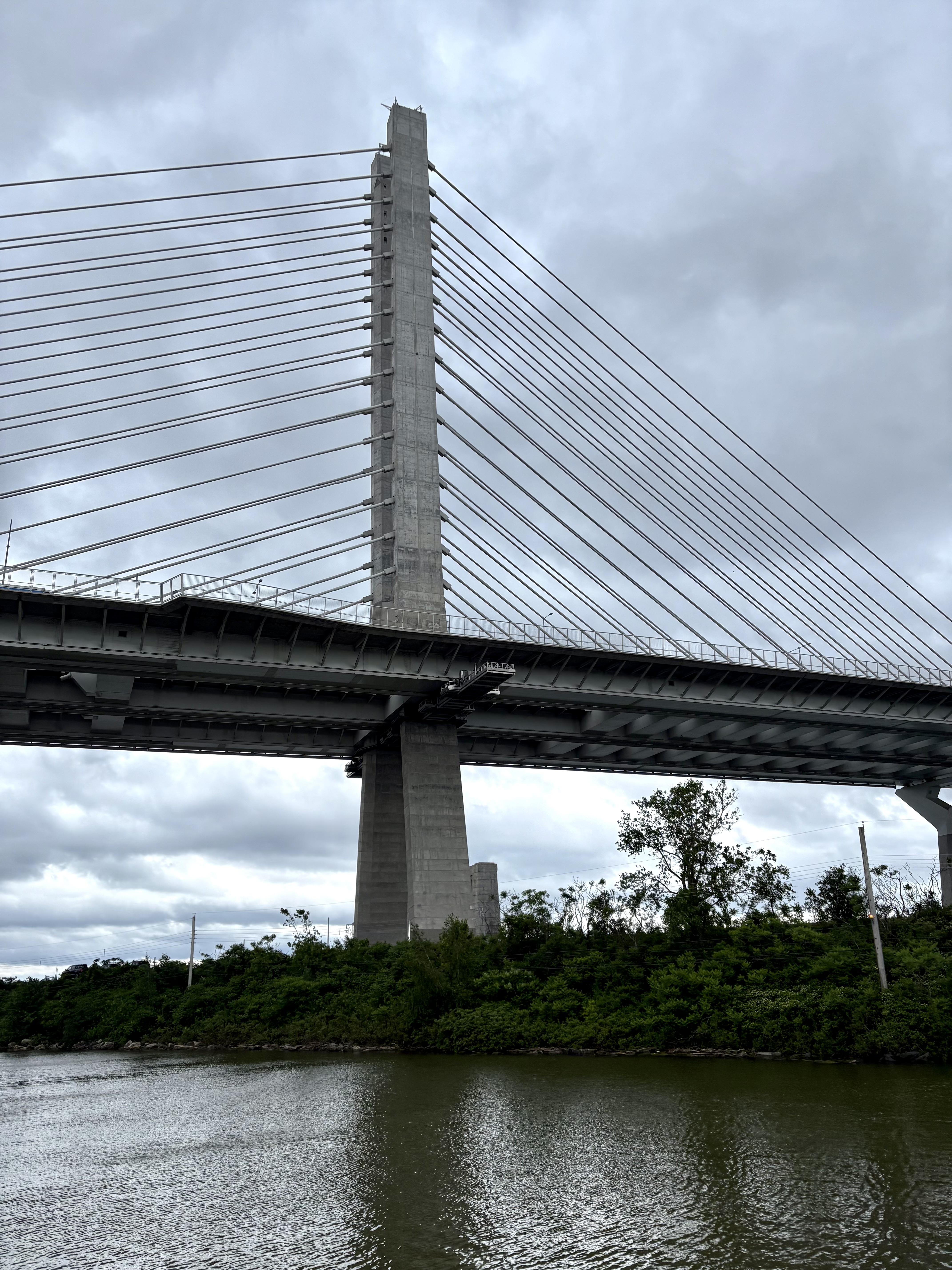
as underneath.
We also, in the broad placid waters of Lake St. Lawrence, meet a graveyard.
Literally, to some extent, as well as figuratively.
Lake St. Lawrence is human-made, part of the massive re-contouring of the river that involved creating a huge reservoir for the new Saunders Power Dam near Cornwall, Ontario. Underneath this lake, this reservoir, lie the Sunken Villages of the St. Lawrence — 12 Canadian communities entirely flooded (8) or partially destroyed/relocated (4) in order to create that reservoir. Yes, there was relocation assistance, but nothing financial can erase the emotional price.
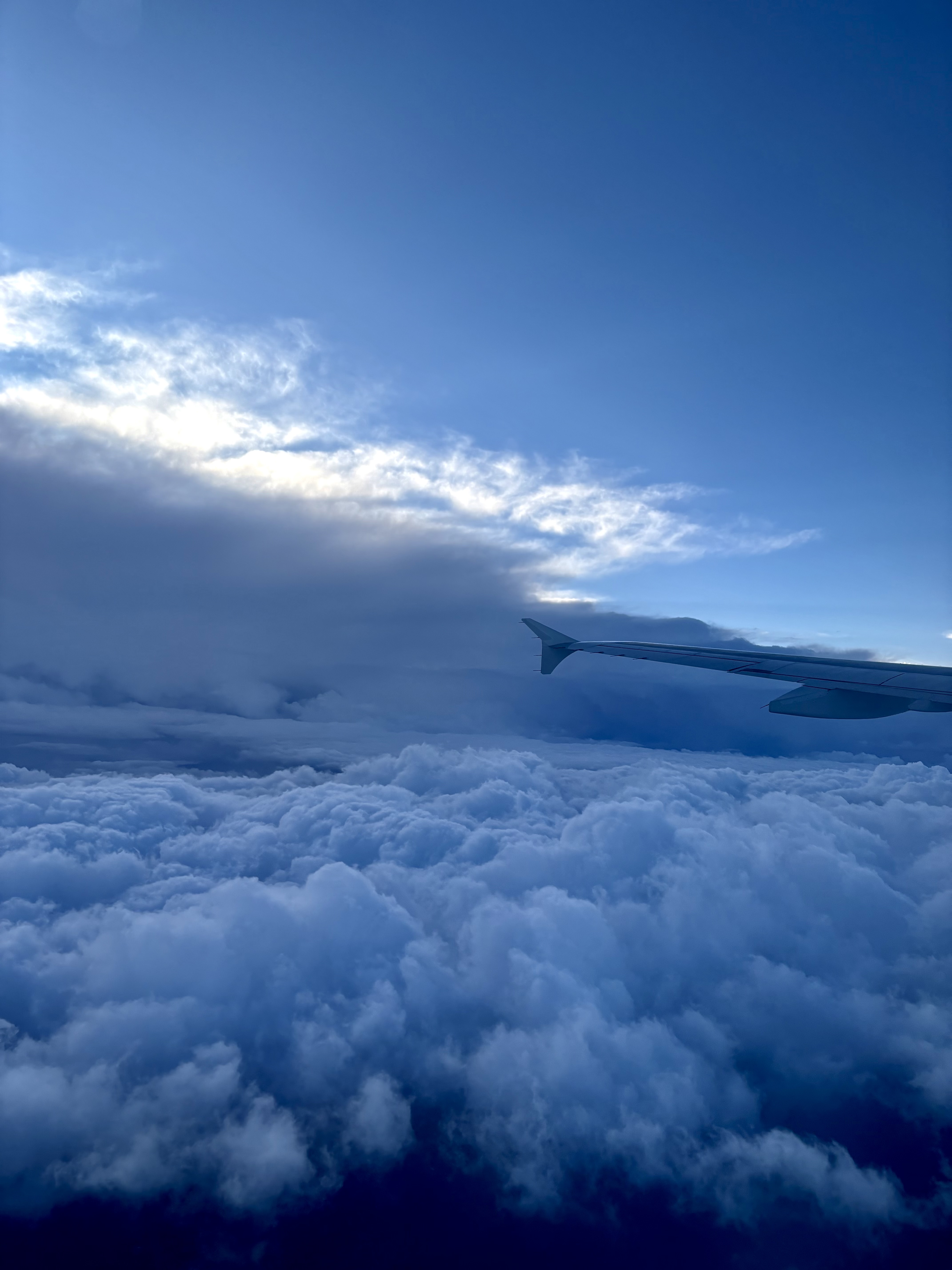
Did you notice the lowering sky, in all but one of those photos? We experience squally, blustery weather all along — even that sunshine behind CSL Welland soon disappears.
And so, when we passengers were expecting to keep sailing on upriver toward that evening’s destination, Cornwall, we are instead told we will not carry on through the anticipated storm. We will instead take shelter.
Take shelter? Just like that, find a convenient berth for a vessel our size?
Well, as a matter of fact… yes.
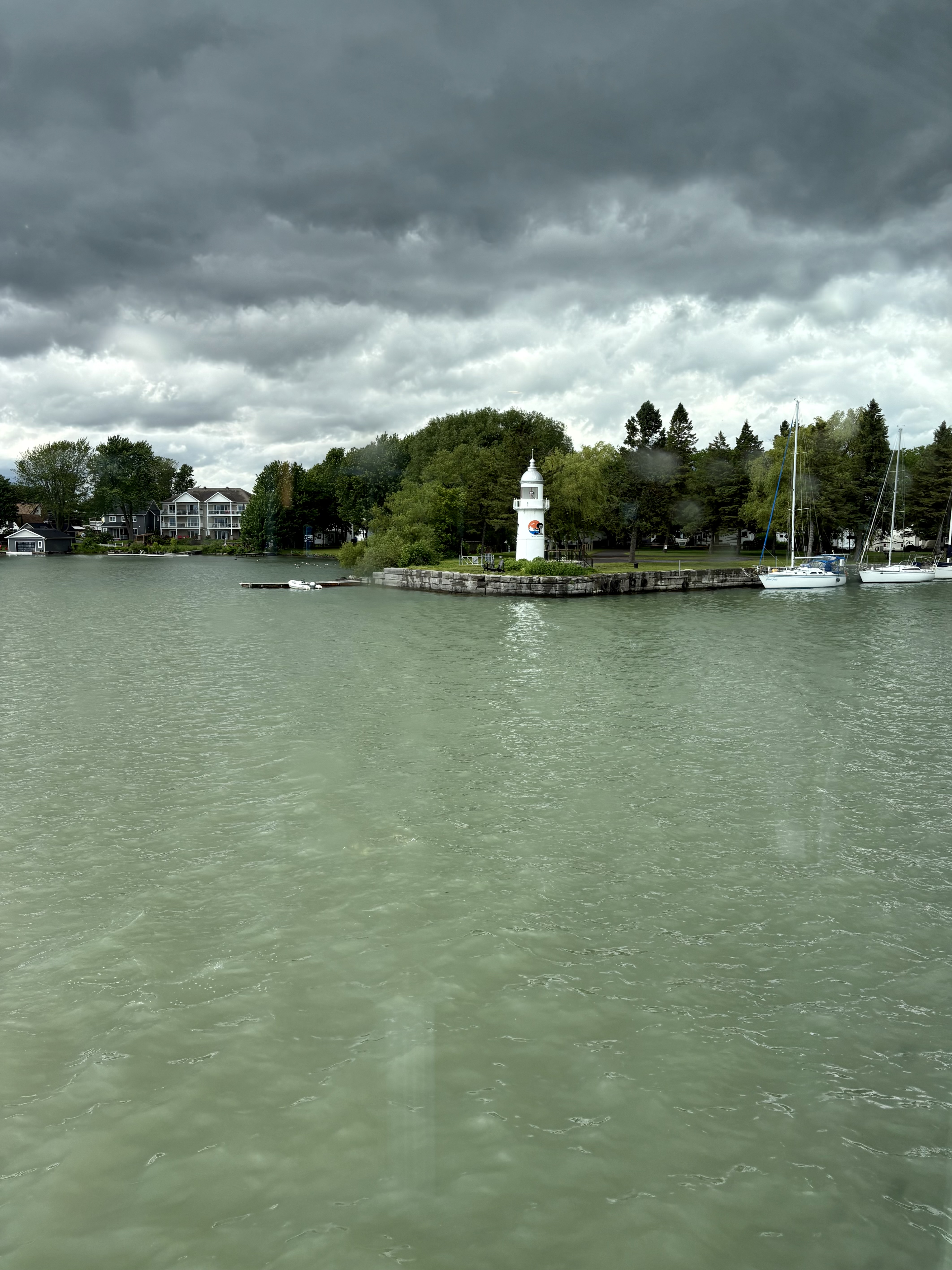
We turn into Coteau Landing (just east of St-Zotique). Where a suitable berth is permanently available.
This is just one of a number of guaranteed bolt-holes up and down the river, ready to receive the Canadian Empress whenever she happens to need one.
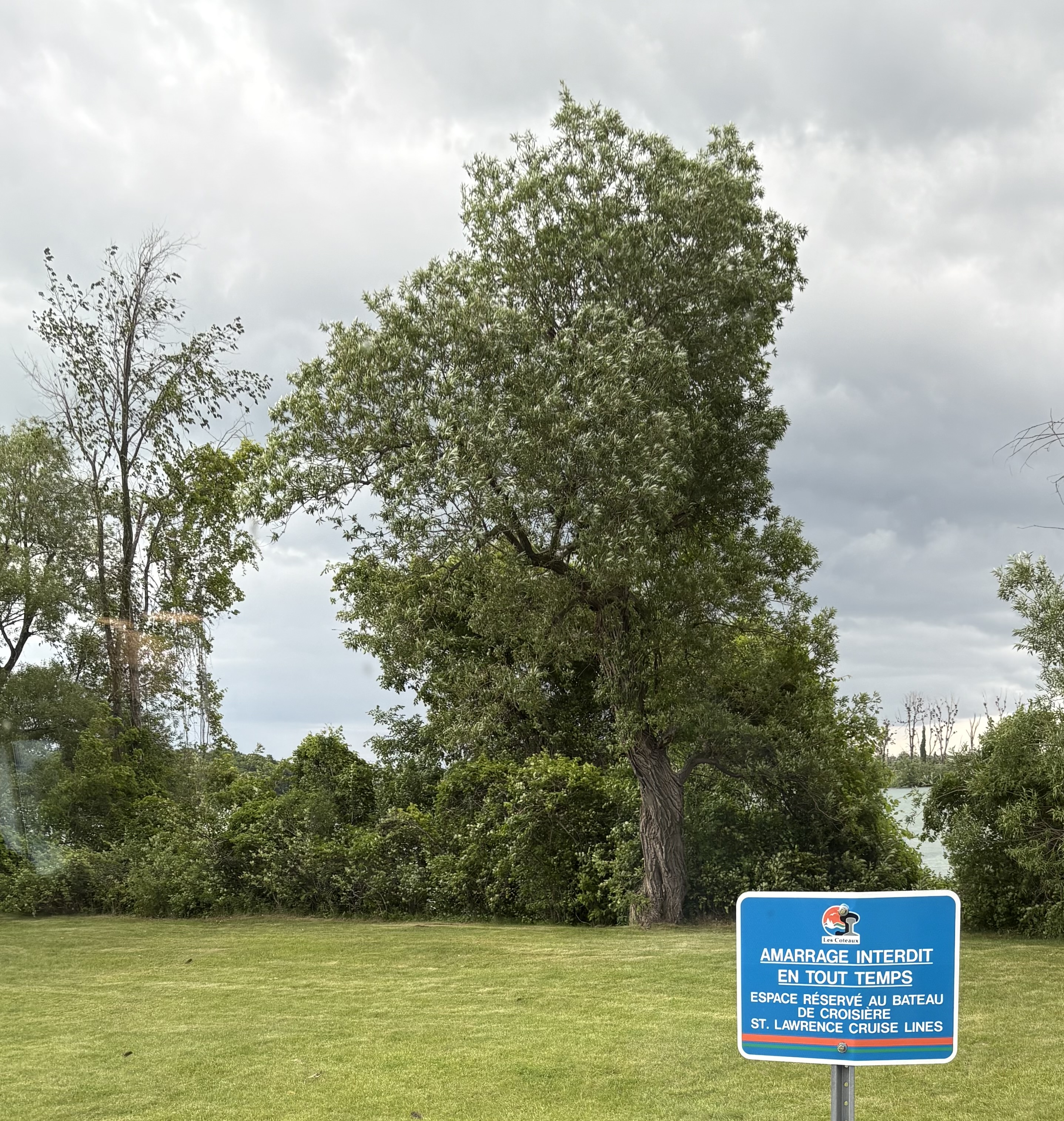
The threatened huge storm never did hit — though as you can see, trees are still being whipped about by the wind.
After a comfortable night of shelter (including time to stroll through the little community), we leave at 5 a.m. and get ourselves back on schedule.
Near Iroquois, we pass through the last of the 7 locks, this one as large as the others but slightly different in one respect. The difference earns it the name of a “drive-through” lock. Here, water is not sluiced in or out from points low by the gates. Instead, once the vessel is in position, the forward lock gate is very slightly opened, allowing that level of water to start infiltrating the lock and eventually bring its waters to the desired exit level.
And so, as we exit the Iroquois lock…
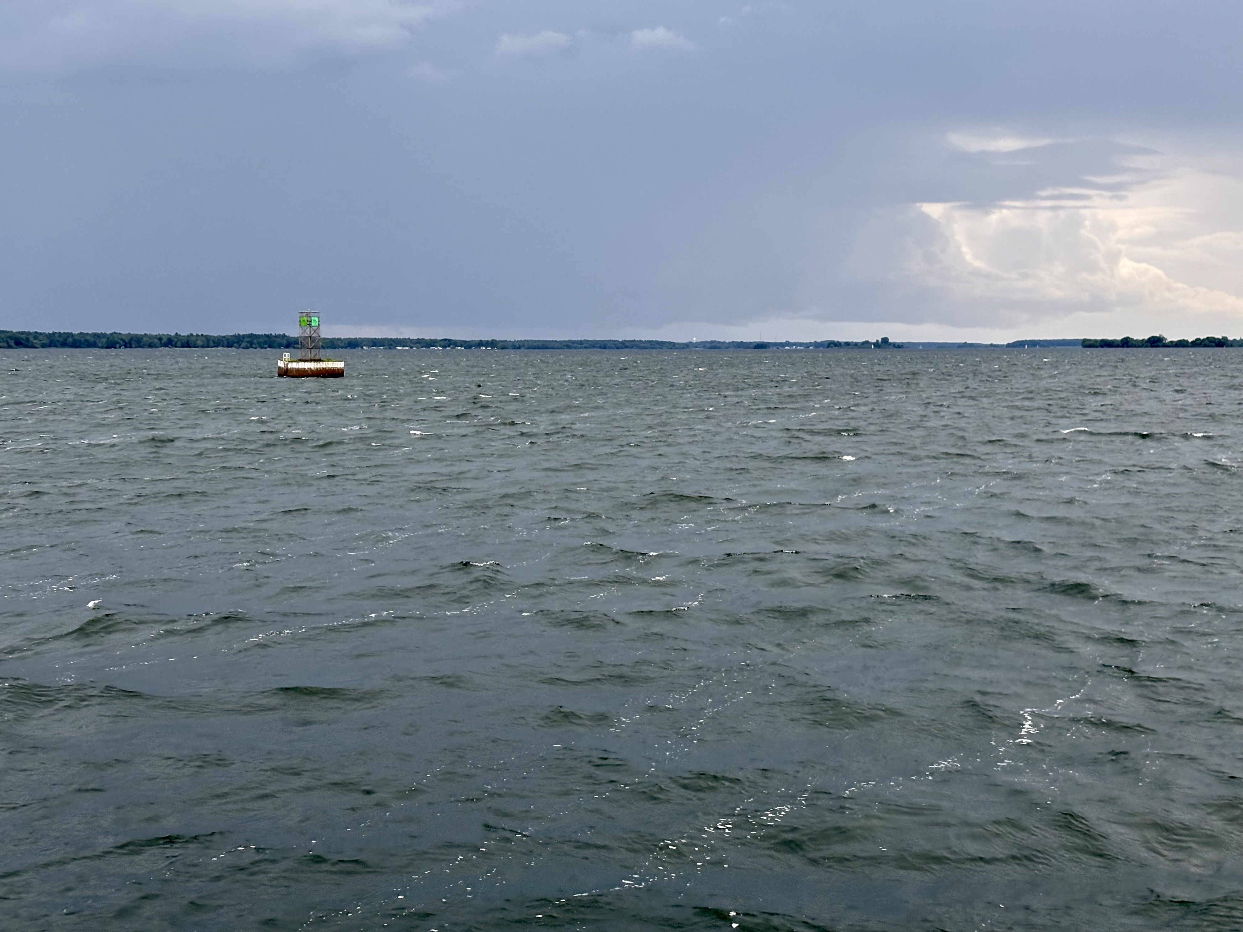
we have finally been delivered to the level of Lake Ontario (which lies just ahead of us, at Kingston).
Meanwhile, we carve our way through the myriad delights of the Thousand Islands that dot these international waters between Brockville and Kingston.
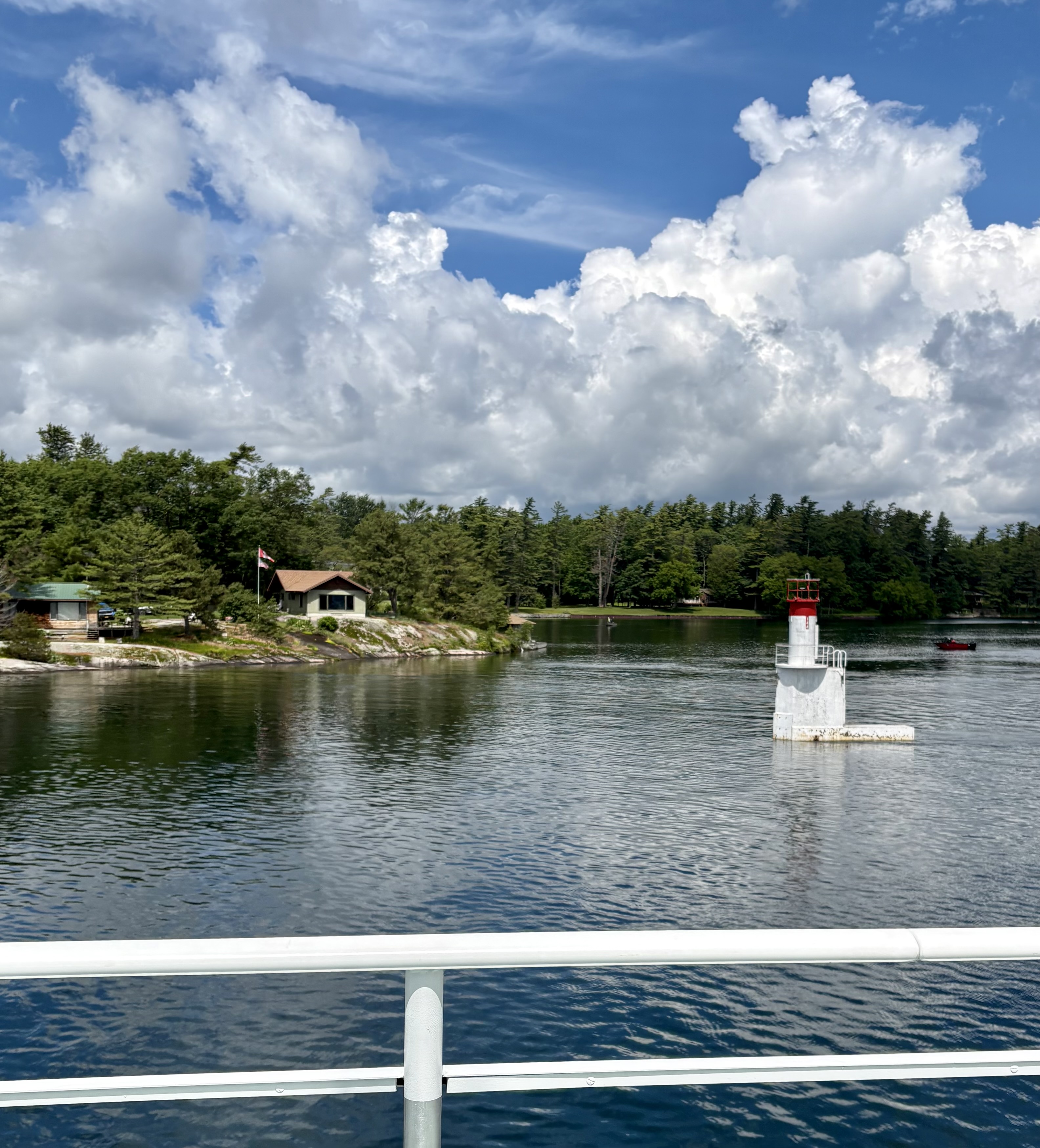
For once, marketing understates the case: in fact, or so they say, there are 1,864 islands. (And who are we to argue?)
I’m now happy to lean back, as sunshine and warmth finally make their appearance, and enjoy what lies before me: the final 80 km of an extraordinary voyage.